
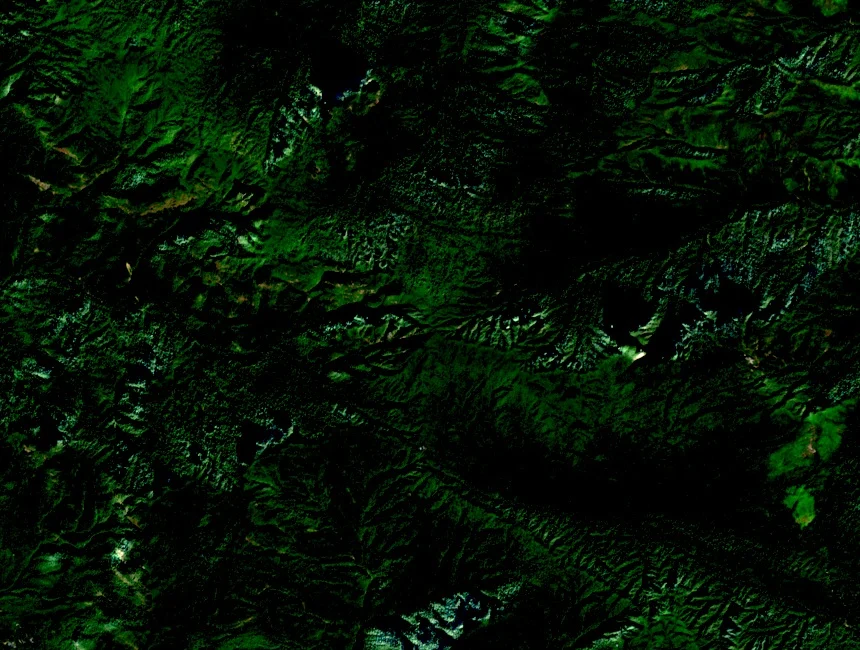
Ridges, Streams, and High-Altitude Flora
Provincial sources describe the approach through dense lower forest and stream corridors, where the terrain gives way to exposed upper elevations dominated by rhododendrons. Lai Châu tourism documentation identifies these flowering shrubs as a defining feature of the high ground, while the forested lower ridges and streamside zones form a distinct lower belt recorded in provincial material.
Vó Ngựa Festival at Tả Lèng
The Bình Lư public cultural centre documented the Vó Ngựa trên Pu Ta Leng festival in 2025, an equestrian event held near Tả Lèng below the mountain. Local riders participate in the festival, whose name translates as "horse hooves on Pu Ta Leng," linking the mountain directly to community identity in the Tam Đường valleys.
Name and Elevation Records
Lai Châu provincial authorities and Vietnam's National Authority of Tourism use the form Pu Ta Leng; the variant Phu Tha Leng in some external records refers to the same summit. The Lai Châu tourism profile and the Tam Đường environmental assessment both carry the elevation of 3,049 metres as the sourced provincial figure.