
A name in maps and travel accounts
The historic Siegfried Atlas records the summit as Piz Mulein with a spot height of 2,630 m. Today’s federal map uses Piz Mulain and labels it 2,626 m. Ludwig Beissner used the older spelling in a travel account published in 1905. During a short halt at Bad Alvaneu station on the Albula railway, he picked out Piz Mulein and Lenzer Horn from the valley.
On 12 July 1938, federal surveyors took a photograph from the station they called Piz Mulein-West. Photogrammetry lets surveyors measure the terrain by comparing photographs. Another view from around 1930–1950 shows the mountain behind Alvaneu. The Graubünden State Archives catalogue that photograph under the name of Johann Christian Caspar, who took it from the east of the village.
The Ridge Toward Piz Mosch
The Swiss Alpine Club archive grades the ridge connecting Piz Mulain and Piz Mosch T5, a level that can involve exposed terrain without a continuous path. The current topographic sheet shows this narrow link above Alp Manuir.
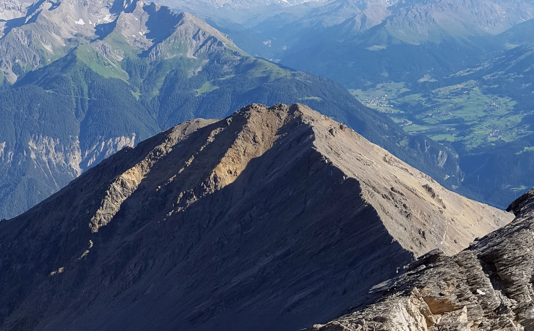
The cover photograph taken from Lenzer Horn on 6 July 2017 shows the pale rock of Piz Mulain in the centre of the panorama, above the forested slopes of the Albula valley.
A moving slope above Brienz/Brinzauls
At nearby Brienz/Brinzauls, a debris flow destroyed forest and meadow and overtook a road in 1877. That event is known as Igl Rutsch. The ground beneath the village slowly shifts downslope, while the slopes above it can release much faster rockfalls and debris flows. The canton’s engineers have treated these as linked processes.
The village was evacuated in May 2023. On the night of 15–16 June, a section above it called the Insel failed, sending debris downhill. Later in 2023, the canton approved a drainage tunnel intended to slow long-term ground movement beneath Brienz/Brinzauls.