
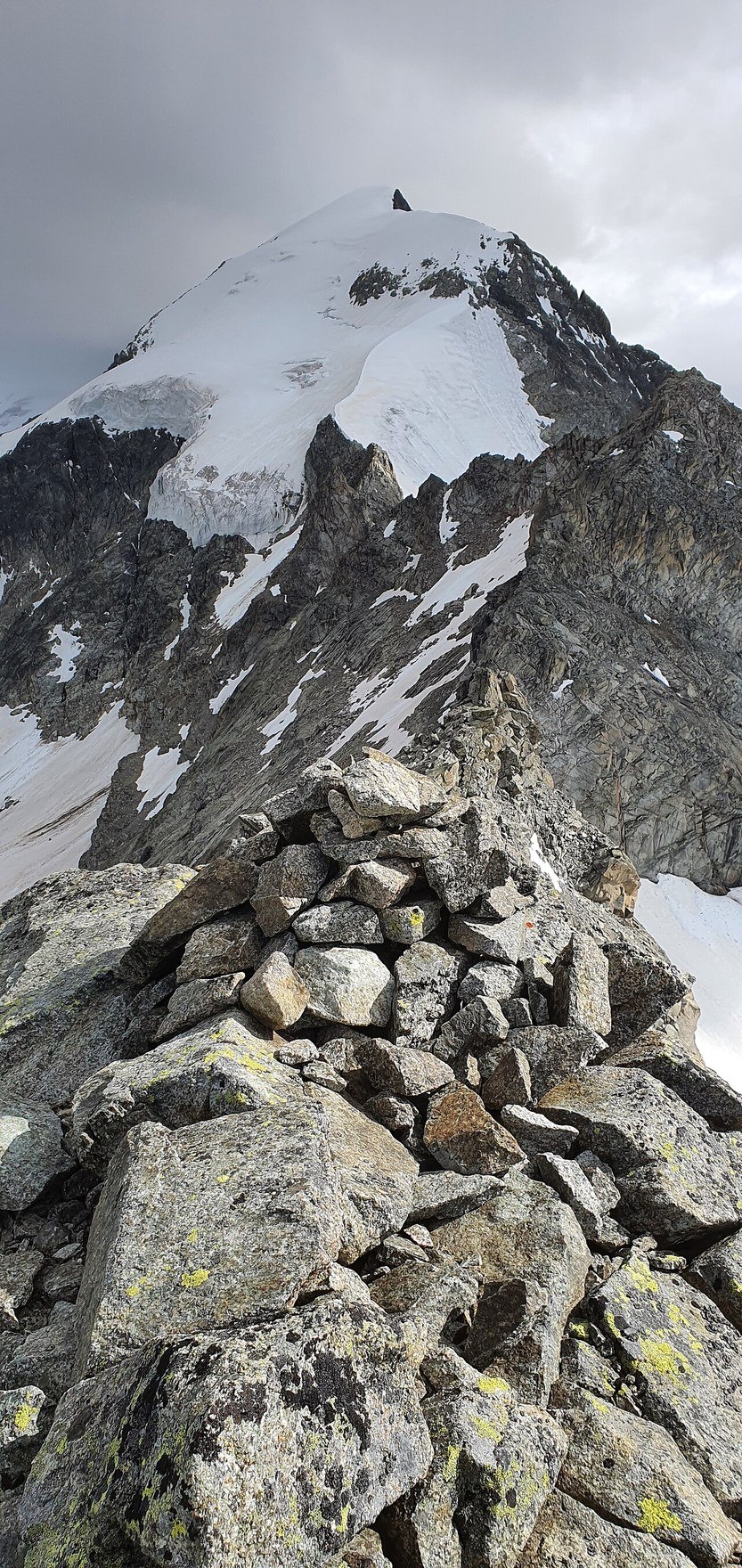
Two Faces of the Mountain
The Swiss Alpine Club draws a clear contrast between the two principal aspects of Piz Morteratsch. The side oriented toward Boval carries high, snow-covered slopes and presents the more glaciated face of the peak. The side facing Tschierva is markedly rockier in character, offering a different texture and terrain. Between these aspects runs the Spraunzagrat, an individually named ridge that defines the mountain's upper topography and serves as a geographic boundary between its contrasting flanks. This named ridge is not merely a local convenience; it represents a distinct morphological feature within the Bernina group's high terrain.
The Glacier That Shares a Name
The Morteratsch Glacier descends through the valley below the peak, a body of ice large enough and historically significant enough to have accumulated its own scientific record. Glacier Monitoring Switzerland, operating under the GLAMOS programme, recorded a glacier length of 5.68 kilometres in one of its measurement cycles documented in the 2019–2021 glaciological report. That figure belongs to a specific dated entry in the glaciological record — it describes the glacier at the time of measurement, not a fixed or current length, and it characterises the ice body in the valley rather than any dimension of the peak above.
Position Within the Bernina Group
Piz Morteratsch occupies a defined position within the broader Bernina group, a range whose high peaks and extensive glaciers collectively form one of the most studied alpine environments in Switzerland. The peak's relationship to the glacier basin below it and its proximity to higher summits such as Piz Bernina give it a spatial significance that goes beyond its own elevation of 3,751 metres. The swisstopo national map fixes the summit at coordinates placing it in the Upper Engadin, northeast of St. Moritz, within a cluster of high terrain that remains central to the glaciological and geographic study of the Eastern Alps.