
Glacial Landform and Valley Character
In July 1956 the botanists W. Vink and R. Pullen spent ten days near Lake Aunde. Vink’s 1958 paper described the relatively flat, peat-covered floor and traced the glacier-shaped profile down to about 3,300 metres. Forest covered the steeper sides, thinning to alpine shrubs with altitude.
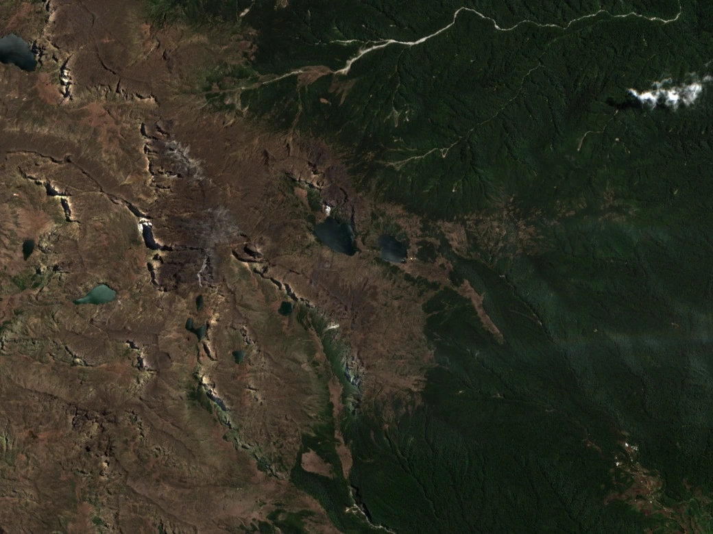
Researchers who visited in March and April 1969 mapped Aunde, Piunde and the smaller Brass Tarn in the U-shaped upper valley. Their 1973 paper attributed these basins to Pleistocene glaciers. In the Sentinel-2B image photographed in September 2026, Aunde is the western of the two large lakes and Piunde is the eastern one.
The Two Lakes and Their Depths
In September 1959, A. M. Rapson measured 27 fathoms (about 49 metres) in Lake Piunde and 18 fathoms (about 33 metres) in Lake Aunde. Other surveys gave different readings. In 1967 K. Thomasson published results on phytoplankton from the Mount Wilhelm lakes. The 1969 team measured light penetration, water temperature and dissolved oxygen.
Pollen and the Trail to Mount Wilhelm
The longer environmental record lies below the surface. G. Hope used pollen from sediment cores on Mount Wilhelm to reconstruct changes in forest, shrubland and grassland. The studies connect plants growing on the mountain today with earlier changes in the position of the forest boundary.
On the route from Keglsugl to Mount Wilhelm, the Papua New Guinea Tourism Promotion Authority marks the lakes and hut accommodation near the 3,500-metre staging point. The path reaches Piunde first when approaching from Keglsugl, with Aunde farther upslope.