
Geography and measurement
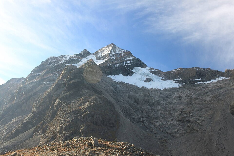
The Sierra Nevada de Santa Marta is an isolated massif close to the Caribbean Sea, with no connection to the Andes. The two highest glaciated summits are less than a kilometre apart. The 2024 study presents its figures as the result of a field campaign from Bolívar, independent of the official reference elevation.
History of documented ascents
In March 1939, Anderson Bakewell, Walter A. Wood, and Enrico Praolini reached the eastern summit during the Thomas Cabot expedition, ascending via rock on the east face and a final section of snow ridge, while other members of the expedition mapped the massif.
Cultural significance of the massif
For the Arhuaco, Kankuamo, Kogui, and Wiwa peoples, the snow-capped summits of the Sierra Nevada de Santa Marta are sacred sites according to ancestral knowledge recognised by Unesco. The two glaciated elevations of the massif have varied in glacial extent over time, which affects the altimetric comparison between Colón and its neighbouring summit across different surveys.