
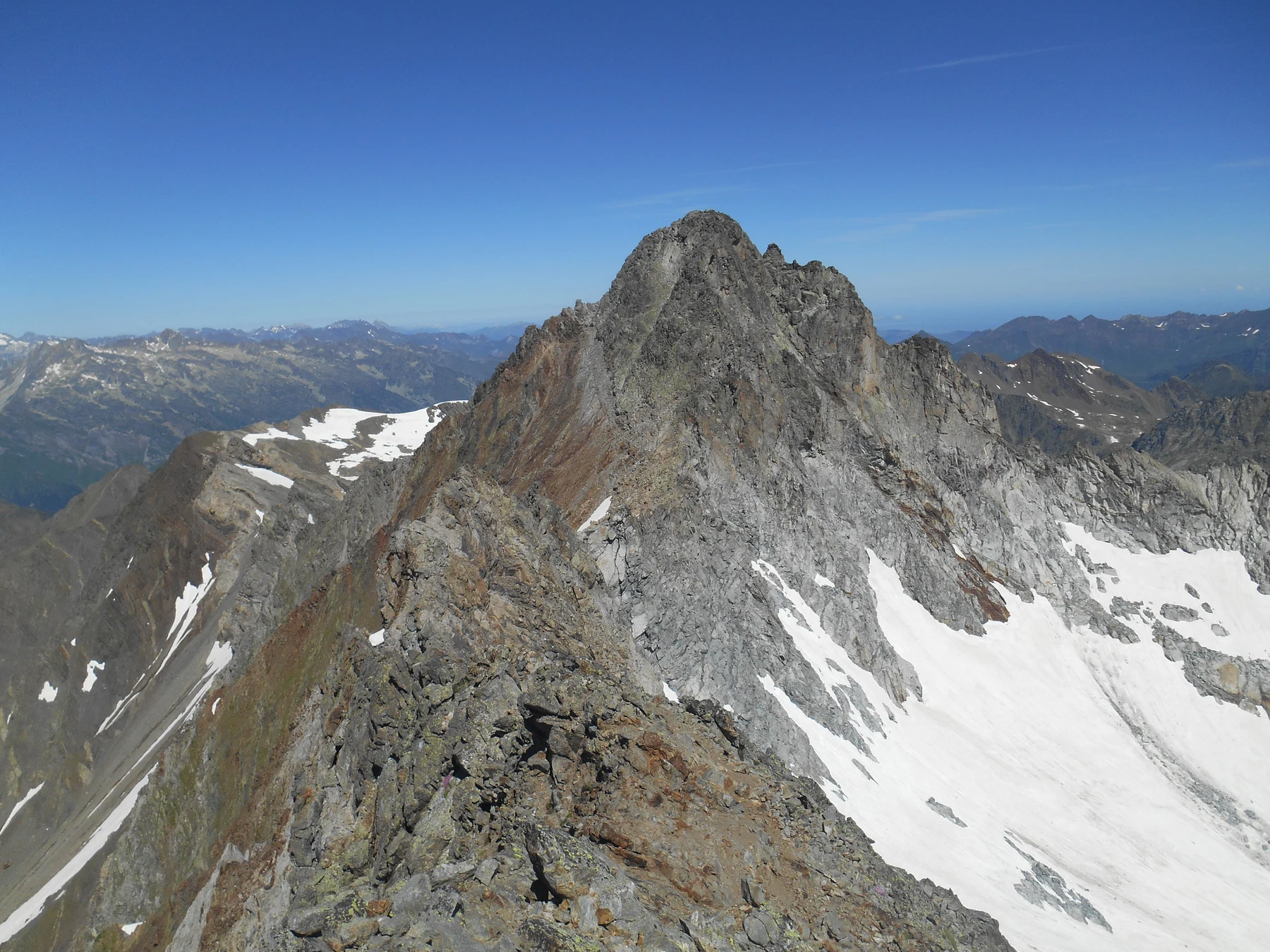
Two catchments on either side of the ridge
The Natura 2000 site Pic Long–Campbielh straddles two watersheds: that of the Gave de Pau to the west and that of the Neste to the east. Ancient glaciations carved the cirques and hollows in which the high-altitude lakes formed.
Lac de Tourrat occupies one of these hollows beneath the north face of Pic Long. To the north-north-east, Cap-de-Long occupies another glacial depression, whose level has been raised by a dam.
Documented first ascents
In his guide to the Pyrenees, Charles Packe also gives the summit the name Vierge and records an ascent by the Duke of Nemours in 1846. Henry Russell lists among his guides Marc Sesquet, also known as Sesqué, a native of Gèdre. On 20 September 1865, the same guide, then aged 68, reached the summit again with Russell and his own son.
In his account published in 1866, Russell describes how the party cut steps in the ice of the east face to reach a gap in the ridge. From the summit he could see Lac de Tourrat below. The account makes it possible to locate the eastern glacier as climbers encountered it in the nineteenth century.
The Cap-de-Long dam
The first Cap-de-Long dam dates from 1908. It fed the Canal de la Neste. In 1947, EDF decided to enlarge the reservoir to supply the Pragnères hydroelectric power station, in the Luz valley, via an underground tunnel.
Engineers André Coyne and Jean Bellier designed a concrete arch resting against both sides of the rocky gorge. Its curvature distributes the water pressure into the rock. Completed in 1954, the dam thus takes advantage of the natural narrowing at the outlet of the former lake.