
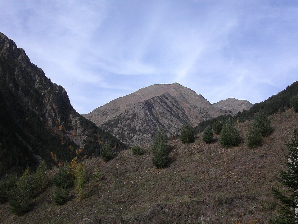
The roof of Andorra
The summit of the Pic de Coma Pedrosa is the highest point in the Principality of Andorra. Its position at the western edge of the country places the peak on the Pyrenean spurs that form the natural border with Spain. On the western slopes, already in Spanish territory, lies the Estanys de Baiau, one of the lake systems associated with the mountain.
The Catalan pronunciation of the name, recorded as [ˈkomə pəˈðɾozə], reflects the toponym's linguistic affiliation with Catalan, the official language of the Principality. This detail is indicative of the cultural identity that frames the mountain.
The route: from the waterfall to Estany Negre
The route to the summit begins at a rest area at 1,580 metres (5,180 ft) above sea level, at the foot of the Ribal waterfall. From there the path climbs to the Coma Pedrosa refuge and campsite at 2,272 metres (7,454 ft), close to the lake known as l'Estany de les Truites — the trout lake. The route continues towards Estany Negre, whose name derives from its distinctive colouring.
The section from Arinsal to the Camp de Refuge, with 650 metres of ascent, is considered moderately difficult. The final section with 862 metres of ascent to the summit is rated difficult. This grading defines a climb that demands physical preparation, with the black lake marking the threshold of the most challenging segment.
Lakes, the refuge and the Arinsal valley
The slopes of Coma Pedrosa hold several mountain lakes and tarns that punctuate the ascent. In addition to Estany de les Truites and Estany Negre, the Estanys de Baiau lies on the western flank, already on the Spanish side of the border. At 2,260 metres (7,410 ft) above sea level stands the Refugi de Coma Pedrosa, a mountain facility that supports the ascent. The first mechanical ski lifts in the Arinsal valley — at the foot of the mountain — were installed in 1973, placing the beginning of ski development in this sector in the nineteen-seventies.