
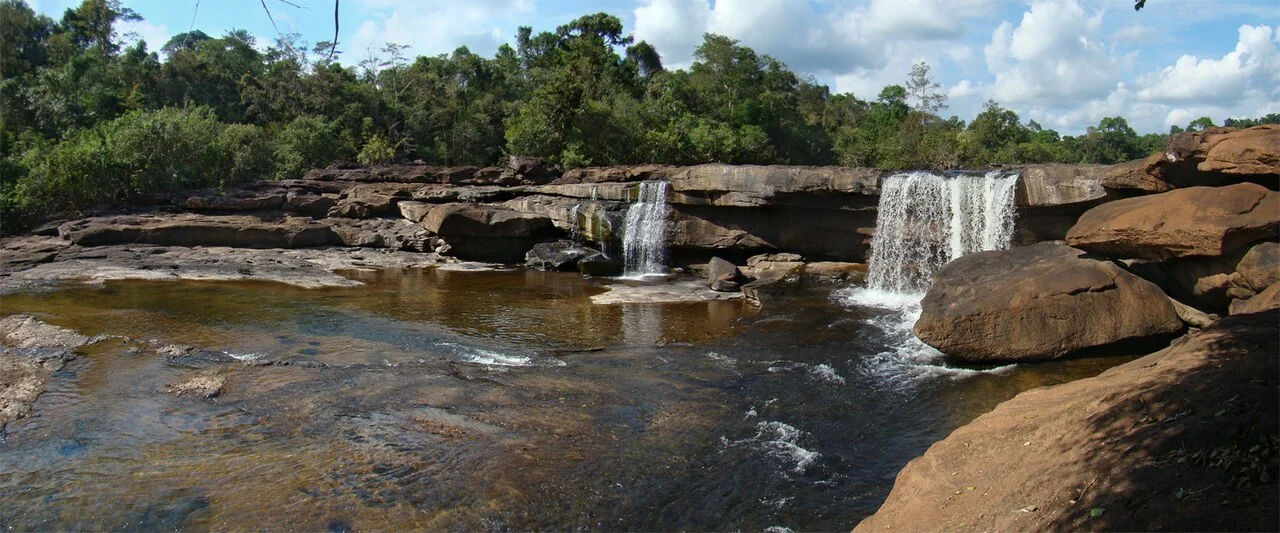
Sandstone Escarpments and Gorges
Laos Ministry of Public Works and Transport documents refer to the terrain as the Phou Khao Khouay massif. Sandstone walls drop into deep gorges across a dissected landscape that varies sharply over short distances. The 2022 Thai Forest Bulletin attributed the 1,671 metre figure to the wider park rather than a single surveyed summit.
Conservation Area and National Park
Laos Ministry of Agriculture and Forestry documents record the establishment of a conservation area in 1993, among the country's earliest such designations. A separate governmental decision reclassified the terrain as a national park in 2021, introducing a new administrative framework to land already under formal protection for over two decades.
Three Rivers and Riverweed Surveys
The Nam Mang, Nam Leuk, and Nam Gnong rise within or near the massif and flow toward the Mekong through sandstone gorges. A 2022 survey published in the Thai Forest Bulletin documented riverweeds of the family Podostemaceae growing on submerged and spray-wetted rocks within these river systems, plants adapted to fast-moving water and exposed rock surfaces.