
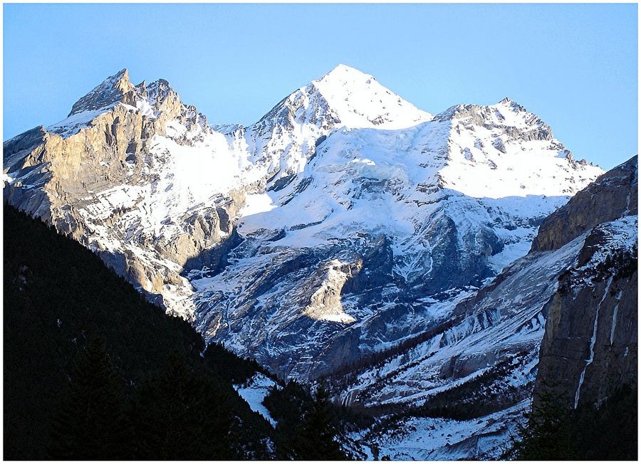
Position in the Blüemlisalp Group
A winter view from the north shows the Oeschinenhorn at the right of the ridge on its western flank, with the broader Blüemlisalphorn occupying the centre at greater height. The SAC guide documents the summit in its position between its neighbours along the ridge. The southwestern ridge of the Blüemlisalphorn connects the two summits, and the Obere Oeschinengletscher marked on swisstopo lies off the northwest slope of the Oeschinenhorn. Lake Oeschinen occupies the basin below on the north side, enclosed by the steep walls that define this corner of the Blüemlisalp group.
The 1949 West-Face Ascent
On 8 August 1949, Ed. Wunderlich of Bern completed a solo ascent of the Oeschinenhorn's west face, starting from the Fründenhütte and crossing the Oeschinengletscher. He recorded the face in distinct bands: a yellow lower rock wall giving way to darker slabs and a darker upper edge near the summit, with a broad band of scree crossing the wall at an intermediate elevation. Above that band he moved into a rock basin beneath the final summit before completing the ascent. His account is preserved in the Swiss Alpine Club route bulletin.
Rock Avalanches and the Basin Below
The shape of the Oeschinensee reflects a sequence of large mass movements recorded in Canton of Bern sources as estimated events. A 2024 parliamentary dossier on the nearby Spitze Stei documents a major Oeschinen rock avalanche estimated at approximately 2,300 years ago that helped impound the lake basin. A separate Fisi rock avalanche, estimated at roughly 3,200 years old, filled part of the Kandersteg valley. A canton water service survey further identifies an earlier large mass movement from the Birre area as likely having initiated the lake's formation in late glacial time, with subsequent events adding to the impoundment. The accumulated debris and the enclosed cirque together give the lake basin its present depth and character.