
Moraines, substrate, and glacial meltwater
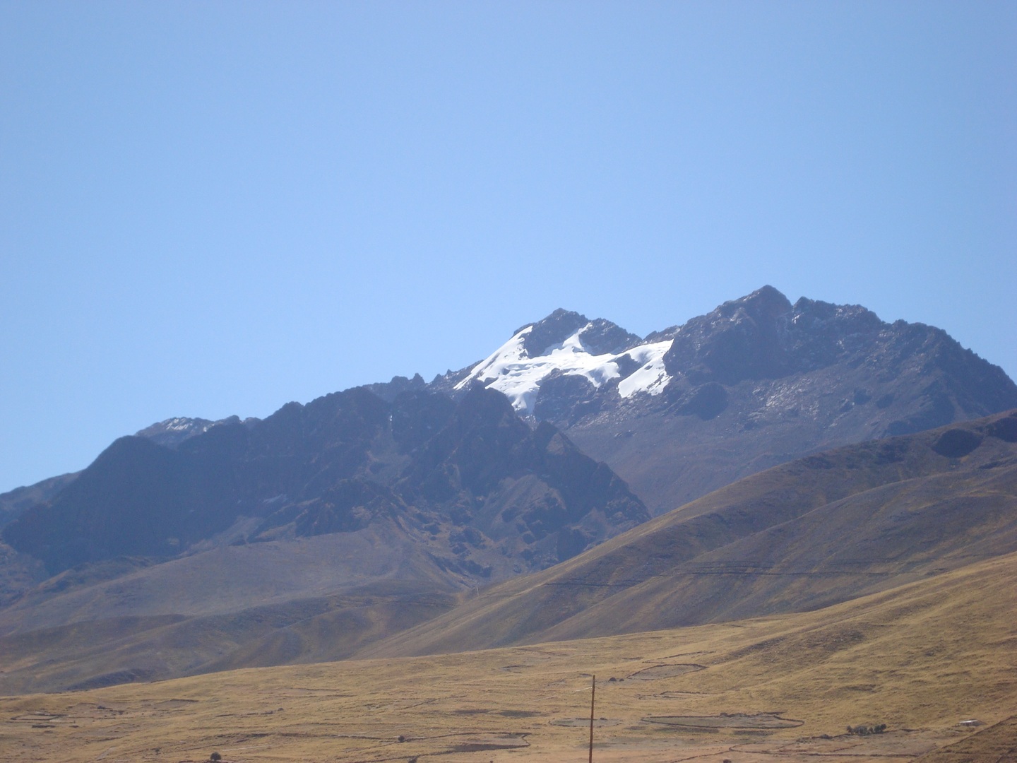
INGEMMET Bulletin A 58 describes extensive lateral and frontal moraines deposited near Santa Rosa, overlying units of sedimentary and volcanic origin, which record earlier glacial advances. The ANA inventory quantifies the Cunurana glacial unit at 0.37 km² in 1962 and 0.057 km² in 2023, within the Titicaca drainage; the difference between both measurements reflects a pronounced retreat over that period.
The water divide and the Qhapaq Ñan of the Collasuyu
The Ministry of Culture documents that the Cordillera La Raya, where Cunurana is located, forms the divide between the Amazon and Lake Titicaca basins. From the Abra de La Raya, at more than 4,300 m on the border with Cusco, the Puno section of the Qhapaq Ñan sets out toward Desaguadero; this Collasuyu route was recorded by the Ministry as part of its studies of the Andean road.
Tutelary apu and record of ascents
INGEMMET geosite record GS004 (Zavala, Astete, and Churata, 2022) presents Cunurana as the tutelary apu of the province of Melgar — a protective mountain of cultural significance in the Andean worldview — and includes its glaciofluvial slopes within the registered geosite. The compilation by Echevarría published in the American Alpine Journal of 1964 records two ascents of the massif: G. Murillo and M. Tomayconza reached the north summit on 29 July 1957 and the south summit on 30 July 1958.