
Official Registration and Elevation
The Nepal Department of Tourism registers Naya Kanga at 5,863 metres under the alternate official name Ghanja La Chuli. Older mapping recorded the peak at 5,844 metres. The Himalayan Database adopts the same 5,863-metre figure. Ganja La, a distinct high pass connecting adjacent valleys, is a separate landform and should not be confused with the peak itself.
Standing Among Jugal and Langtang Giants
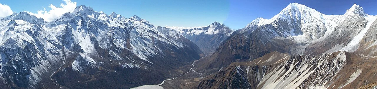
ICIMOD field expeditions in the Yala Glacier area document Naya Kanga among a cluster of significant peaks that includes Langtang Lirung, Drapoche, and Gangchhenpo. This landscape context places the mountain within one of Nepal's most studied high-altitude glacier zones, making it a reference point for researchers monitoring glacial change across the broader Langtang region.
Access and Permit Status
The Nepal Mountaineering Association lists Naya Kanga as a permitted trekking peak, distinguishing it from nearby summits Langsisa Ri and Yala. The Nepal Tourism Board documents it within the Langtang region's southern valley rim. The first ascent date and party remain unrecorded in the Himalayan Database, leaving that chapter of the peak's climbing history open.