
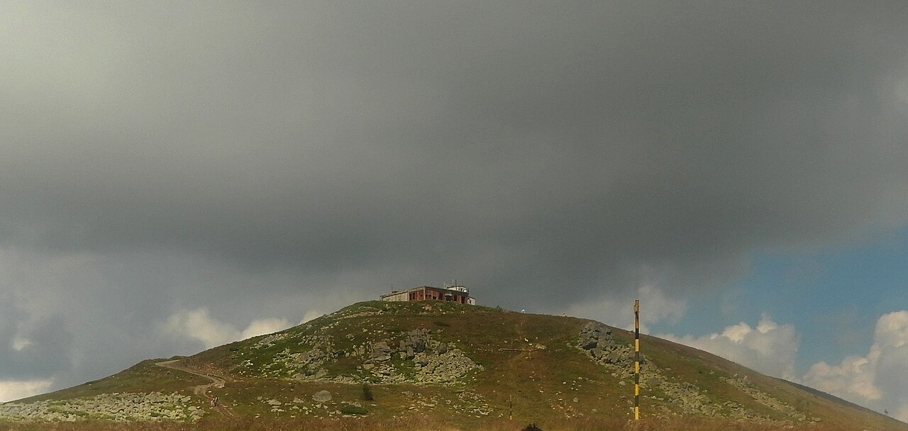
Summit Position and Ridge Setting
The Bulgarian Tourist Union describes Murgash as a summit on the western Stara Planina crest, situated above the Murgash hut and along a defined ridge. The upper slopes are rounded. The ridge-top position separates the summit from the lower terrain of the Sofia Valley to the southwest, a distinction that figures in its use as a reference point for long-term climate comparisons with valley-level sites.
Station Establishment and Standardization
The National Institute of Meteorology and Hydrology marks 15 November 1953 as the date of the station's first recorded observation. A standardized meteorological park, meaning a weather-observation site laid out to conform with measurement standards, was established at the summit in 1962. The institute distinguishes the initial observation period from the later phase when the station met formal climatic and synoptic criteria.
Observers and Climate Research
Long-serving observers at the Murgash station, interviewed by Bulgarian National Radio, describe measuring cloud cover, atmospheric pressure, wind, and air temperature. A published temperature study uses the station's records from 1954 to 2017 as a high-altitude comparison point alongside records from lower stations in the Sofia Valley. That series, stretching across more than six decades, gives the station its value as a long-term high-altitude reference.