
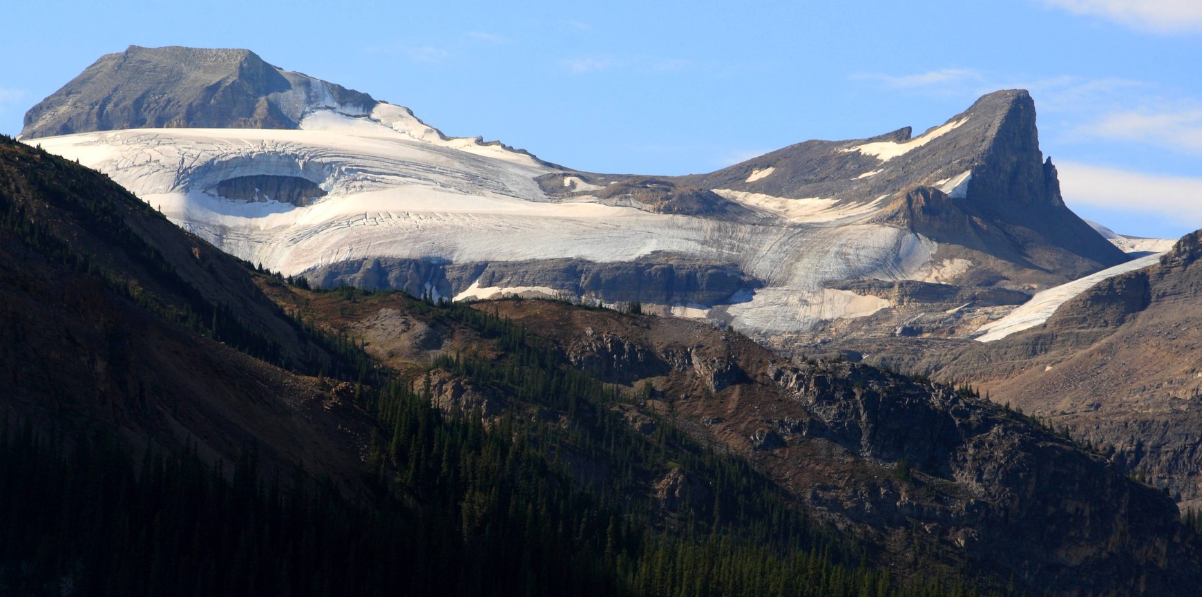
A Landmark on the Icefield
In 1907 a writer in the Canadian Alpine Journal described a body of ice marked Waputik Snowfield on the maps of the day. He used Wapta Icefield for its larger northern section, which he separated from the ice to the south along Mount Gordon, Mount Olive and their ridges.
Two Stories Behind the Name
The name Mount Olive appears on a 1915 boundary map. Canada’s Geographic Board adopted it on 31 March 1924. Two early sources give different stories. The Canadian Alpine Journal says Harold Dixon named the peak in 1897 for the colour of its rock. Alberta Place Names (1928) says he named it for his wife in 1899.
Cairns on Both Summits
On 31 July 1927 Lawrence Grassi, G. A. Gambs, N. L. Goodrich and M. Cropley made the first recorded ascent. They left Twin Falls Chalet and crossed part of Yoho Glacier. Goodrich describes reaching the higher South Peak by a narrow, unstable ridge. They built cairns on both summits and descended west toward Vulture Col.
Crossings on Skis
The 1960 Canadian Icefield Expedition crossed the saddle between Mount Olive and St. Nicholas Peak on a northward ski traverse. Four years later, a group dug a snow cave beneath the west face of St. Nicholas Peak. The following day they climbed Mount Olive and Mount Gordon on skis.