
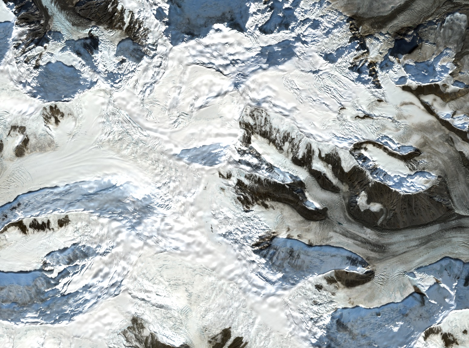
Two summits on one ridge
The southeastern summit lies roughly three miles along the ridge from Mount Macaulay. Its reported height, about 4,420 metres, appears in accounts of the 1998 and 1999 expeditions. Ice covers the valleys on either side of the ridge. The expedition records show parties approaching from the upper Anderson and Trapridge glaciers.
From the south ridge to the icefield
Climbers reached the main summit by the south ridge in 1959, according to the earliest ascent record cited in later expedition reports. A report published in the 1997 American Alpine Journal records skiers ascending and descending the main summit, then doing the same on the southeast summit the following day.
In 1998 the British–Canadian expedition led by Alun Hubbard flew to the Trapridge Glacier, then used skis and roll-up sleds to move equipment on an 18-day traverse. Its members crossed both Macaulay summits. The account described the southeast summit as previously unclimbed, although the American Alpine Journal had already recorded the earlier ski ascent.
In April 1999 David Hart and his team landed on the upper Anderson Glacier and set a high camp before repeating the east ridge of Slaggard and the south ridge of Macaulay. They then moved camp across the southeast summit to the col on the way toward Northwest Steele. The high ridges and glaciated valleys through which expeditions moved are visible in the September 2025 satellite image.
The icefields of Kluane
The mountain is part of Kluane National Park and Reserve. The 2024 management plan describes the icefield landscape and the shared management of the park by Parks Canada, the Champagne and Aishihik First Nations, and the Kluane First Nation.