
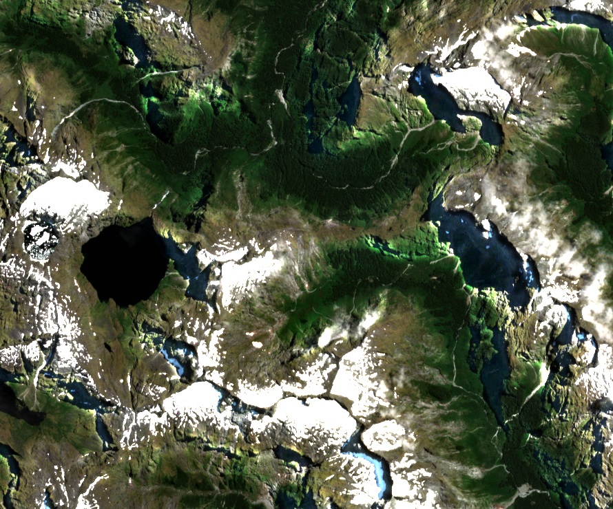
Between two glacial valleys
Ice carved the steep-walled valleys on either side of the saddle. The Milford Track starts at the head of Lake Te Anau and climbs the Clinton Valley (Waitawai) past Lake Mintaro. From the pass it descends into the Arthur River valley and follows it towards Milford Sound / Piopiotahi.
Māori travelled over Omanui between the coast and Lake Te Anau before the European surveys. In 1888 Quintin McKinnon and Ernest Mitchell crossed the pass and joined the path cut by Donald Sutherland from the Milford side.
The photographer and the explorer
Sutherland named Mount Hart for William Paterson Hart, who photographed the landscapes of Fiordland. The New Zealand Geographic Board records Hart as the photographer on Sutherland’s 1882 expedition. Hart gave Sutherland Falls its English name and reported photographing the waterfall in March 1883.
From the pass to the ridge
A newspaper report dated 10 March 1937 describes British climber Kate Gardiner and New Zealand guide Frank Alack climbing Mount Hart from the pass. They traversed a rocky ridge to an unnamed neighbouring peak and looked down on Lake Quill, which supplies the water for Sutherland Falls.