
Two Summits, One Name
The western and eastern crests of Mount Fury are separately identifiable points within the same massif. Federal GNIS records assign the name "Mount Fury" to the western summit, yet the rocky high point used as the article's map elevation belongs to East Fury, measured by differential GNSS at 2,536.4 m in 2024. The two crests were linked by a documented traverse in 1962, when Don Keller and Joan and Joe Firey crossed from the east summit to the west, a route recorded in the American Alpine Journal. Later AAJ records describe a north rib ascent of the eastern summit.
Ice Loss at East Fury
A peer-reviewed 2025 study combined historic photographs, airborne LiDAR, and differential GNSS to reconstruct elevation changes at East Fury. A photograph from 1980 showed a nearby ice cap standing higher than the rock summit; by the time of the 2022 LiDAR survey, that ice point had dropped below the rock. The 2024 dGNSS measurement placed the rocky high point at 2,536.4 m. The study's finding is that the estimated highest point of East Fury was approximately 3.5 m lower than it had been around 1980 — a figure describing the change in the overall high point, not simply the thickness of ice lost from a fixed location.
Picket Range Setting
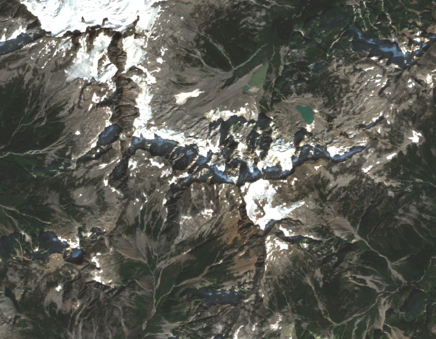
Mount Fury sits within the Picket Range, a heavily glaciated subrange inside North Cascades National Park in Washington State. Sentinel-2 satellite imagery from August 2025 shows the two summits in the context of the surrounding peaks and remaining icefield. The eastern summit’s exposed rock and nearby summit ice form two distinct survey points on the same short crest.