
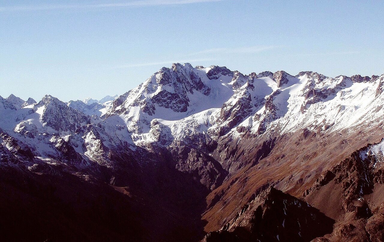
A Name Redistributed Across the Map
Land Information New Zealand associates the name with physicist and glaciologist James David Forbes, whose work on glacier mechanics shaped nineteenth-century understanding of ice movement. The LINZ gazetteer records a redistribution of names among summits in this area, meaning the peak has not always carried the Forbes designation on published maps.
A First Ascent on the Return Journey
The New Zealand Alpine Club records Hugh Wright and Jim Murphy making the first ascent of Mount Forbes in February 1912, on their return from the first ascent of Mount Arrowsmith. The two summits are connected through this single expedition, which produced two first ascents in close succession within the Southern Alps.
Terrain Between the Godley and Macaulay Watersheds
The Sibbald Range sits between the Godley River, draining toward Lake Tekapo, and the Macaulay to the south. At 2,583 metres, Mount Forbes is the range's highest summit. The neighbouring D'Archiac is separately named, confirming that the Sibbald Range holds sufficient topographic complexity to carry its own distinct nomenclature.