
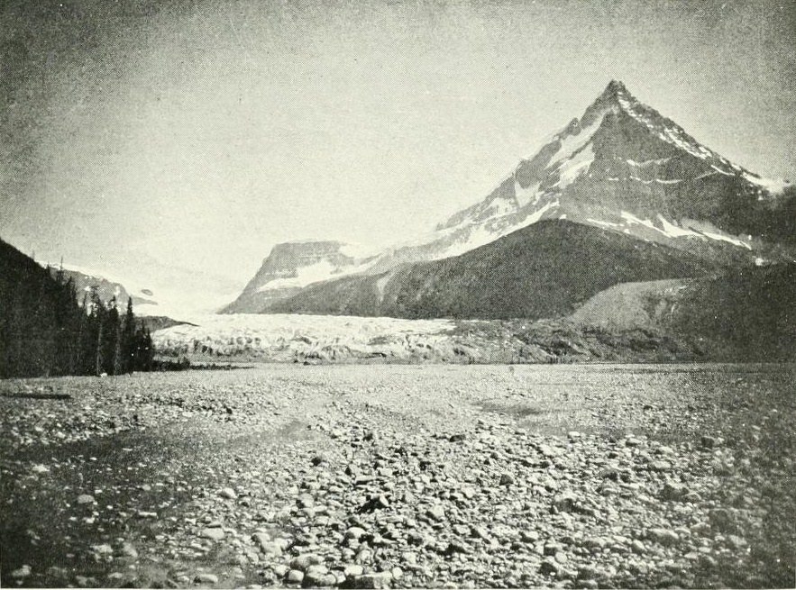
Position and Terrain
The summit and the Columbia Icefield are distinct features, though closely linked. The icefield spreads across a high plateau below the peak, feeding glaciers that drain toward three ocean basins. Columbia itself rises above this platform as a steep, ice-laden massif, its uppermost slopes presenting the technical challenge that defined early ambitions on the mountain.
Early Exploration and Naming
In 1898, Norman Collie and companions climbed Mount Athabasca and looked across the icefield to the summit beyond. Collie named the mountain for the Columbia River, whose headwaters rise in this region. In 1901, Jean Habel approached from the Athabasca River headwaters, reaching the north face without completing an ascent.
First Ascent
On 19 July 1902, James Outram and guide Christian Kaufmann crossed the icefield and climbed the steep ice below the summit to complete the first documented ascent. Outram's report describes both the glacial plateau traversal and the demanding final pitch, placing Mount Columbia firmly in early Canadian Rockies climbing history.