
A Namesake in Natural Science
The Utah Geological Survey identifies Louis Agassiz, a Harvard professor of zoology and geology, as the mountain's namesake. The GNIS record formalising the name dates to 1932, though historical use of the name in the range predates that administrative decision, placing it within the survey era when prominent Uinta summits were assigned to notable figures in the natural sciences.
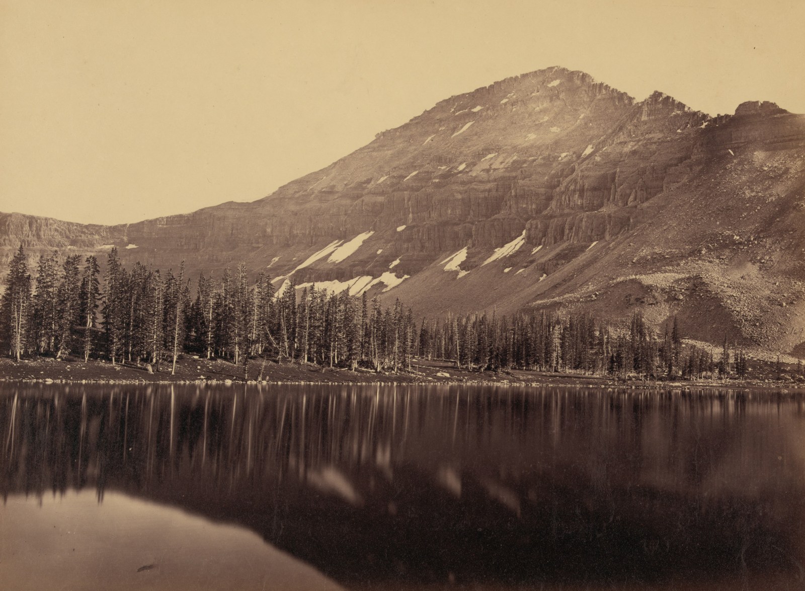
Fortieth Parallel Survey Photograph
An albumen print dated to around 1869 and catalogued by the Library of Congress — attributed in that catalogue to Andrew J. Russell — depicts Mount Agassiz overlooking a lake as part of the Fortieth Parallel Survey record. A separate stereograph in the National Archives is catalogued under Timothy O'Sullivan; the two images and their respective attributions are distinct.
Glaciated Crest and High Basins
The Utah Geological Survey's work on the Uinta range shows that glaciers radiated outward from high basins on both sides of the crest during past glacial periods. Mount Agassiz sits within the western sector of that glaciated zone, where the valleys retain the broad, scoured profiles characteristic of former ice occupation.