
Summit and Names
The DITTT 1:10,000 topographic map labels the 1,054 m survey mark as Mont Canala (Dexwé Xiti). The mountain's northeast flank carries the Chiamoué ridge, descending toward the locality of Ciu; both Ciu and Chiamoué appear in a local roads table published in the 1974 Journal officiel de la Nouvelle-Calédonie, grounding the mountain's named geography in a dated official record.
Watershed and Forest
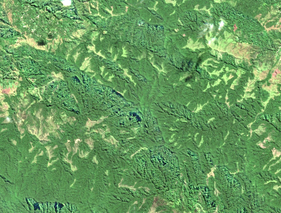
A 2007 Key Biodiversity Area assessment of the landscape between the Rembaï and Canala massifs documents the Central Range's drainage divide in this area. North-draining headwaters from the Rembaï and Mé Mwamuchadaa ridges supply the Crouen, a tributary of the Négropo, while south-facing valleys drain toward La Foa. The same assessment recorded montane forest across the area and noted feral-pig disturbance in the forest understory, conditions observed at the time of evaluation.
Botanical Record of the Chiamoué Ridge
On 20 August 1968, botanist Grady L. Webster and R. Hildreth collected plants on the Chiamoué ridge above Ciu at 700 metres in montane forest with Podocarpus. Their Maesa novocaledonica specimen is held at the Smithsonian National Museum of Natural History (USNM 2734310). A Syzygium lifuanum collection from the same ridge and date is preserved at the Muséum national d'Histoire naturelle in Paris (P04807650 and P04807651), its identification supported by a Candollea treatment of the myrtle family.