
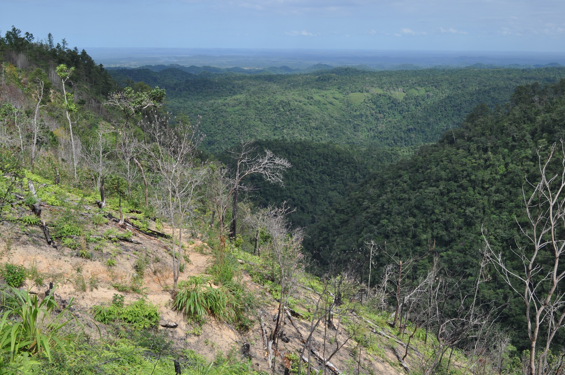
Geology and Landforms
The northwestern portion of the range is defined by the Mountain Pine Ridge batholith, mapped by Steven E. Dawe for the Government of Belize as comprising coarse- and fine-grained granite units. This granite mass forms a structurally distinct block within the broader range.
To the southeast, in the Chiquibul area, the landscape changes substantially. Park geologists describe Cretaceous limestone in the western reaches, Permian metasedimentary rocks including Santa Rosa sandstones along the main divide, and ancient volcanic deposits in the far south. Rainwater dissolving the limestone over time has produced the Chiquibul Cave System, portions of which, according to the 2009 management plan, extend across the border into Guatemala.
Hydrology and Protected Lands
The Friends for Conservation and Development identify Chiquibul National Park and Mountain Pine Ridge Forest Reserve as important headwaters of the Belize River watershed. These two protected areas cover different portions of the range and each operates under its own legal framework. Victoria Peak, a separate protected area, was declared a Natural Monument by Statutory Instrument 47, published 2 May 1998.
Since 2015, the Friends for Conservation and Development has maintained a Karst Management Unit to coordinate karst and cultural heritage inventories with cave management across the Chiquibul and Maya Mountains area.
Archaeological Evidence
During the 1993 field season, Peter S. Dunham and colleagues of the Maya Mountains Archaeological Project investigated the Bladen Branch of the Monkey River valley and documented four substantial ruins, with multiple monuments recorded at three of the sites. The project team used this evidence to argue that the southern mountains were occupied over a long period and functioned as a resource-procurement zone, an interpretation drawn from the survey findings.
Supporting that argument, petrographic analysis of six grinding-stone samples collected in 1992 found five to be compositionally consistent with Maya Mountains source rocks, though the precise origin of any individual artifact remains undetermined. The same 1993 report re-examined artifacts that had previously been described as alabaster and, based on their similarity to local cave deposits, the team concluded the material was more likely calcite-rich travertine.