
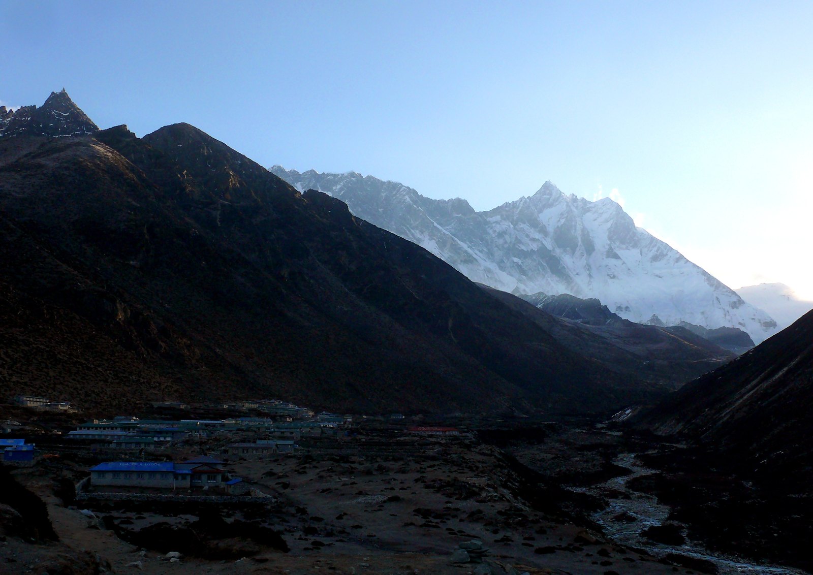
Mountain Location and Border Geography
The massif of Lhotse straddles the border between the Tibet Autonomous Region of China and Nepal, with the main summit sitting on the boundary line. The South Col lies between Lhotse and Mount Everest at an elevation of approximately 7,900 m and is the most representative high-altitude saddle terrain in this area. Looking at the overall ridge alignment, Lhotse Main, Lhotse Middle, and Lhotse Shar form a ridge series extending from west to east; the three differ in elevation and geographical position and must not be conflated.
This section of the Himalayas where Lhotse is located concentrates the highest-altitude mountain groups on Earth in an exceptionally compact manner. The South Col area between Everest and Lhotse forms a critical topographic node connecting the two 8,000 m peaks and has historically served as a shared passage for multiple climbing routes, causing the climbing history of Lhotse to become substantially intertwined with the history of routes on the south side of Everest.
The 1956 Swiss Expedition's First Ascent
In 1956, a Swiss mountaineering team organized a combined expedition to Mount Everest and Lhotse under the leadership of Albert Eggler. According to Eggler's original report compiled after the expedition, Ernst Reiss and Fritz Luchsinger launched their summit bid from the northwest face of Lhotse, ascending via the narrow snow couloir on the northwest face, and completed the first ascent of Lhotse Main in 1956 — the first time humans had ever stood on the summit of Lhotse. The expedition achieved ascents of both Everest and Lhotse in a single season, an exceptional double-summit feat in the Himalayan mountaineering history of the time.
Eggler's report contains fairly specific descriptions of the terrain characteristics of the northwest-face route, particularly the technical role of the narrow snow couloir during the ascent, as well as the placement logic and approach and retreat considerations for each high camp. This primary source has been incorporated into the Himalayan Database and is one of the most direct original references for researching the early climbing history of Lhotse.
Elevation Records and the Evolution of Figures
The altitude of Lhotse has appeared as several different figures across measurements and records from different periods. Official documents from China's General Administration of Sport and the current UIAA standard both adopt 8,516 m, which is also the most widely cited figure in the international mountaineering community today. The measurement techniques and reference datums used in early expedition reports — including those of the 1956 Swiss team — differed from modern geodetic surveying, so figures in those reports sometimes diverge from 8,516 m; this is a normal consequence of the historical evolution of technical measurement rather than a recording error.
The Himalayan Database's records of all ascents of Lhotse encompass the elevation figures and route descriptions used by each expedition, making it a systematic reference for tracing the evolution of this data. When citing the elevation of Lhotse, distinguishing between the current standard figure and the figures in historical expedition reports helps one accurately understand the context of different documents and avoid misreading improvements in measurement technology as factual disputes.