
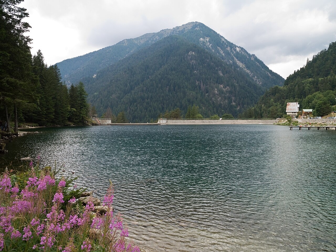
Water in the Valley, Natural and Engineered
A photograph taken on 9 August 2009 shows Lac du Boréon, the artificial reservoir in the lower valley, with its dam and the dense conifer woodland covering the surrounding slopes. Higher in the valley, Lac de Trécolpas sits behind a rock threshold of glacial origin, one of the natural Alpine tarns found in the upper Boréon terrain.
EDF records the Saint-Martin-Vésubie hydroelectric power station as commissioned in 1960. According to SMIAGE, an 18 km network of underground galleries supplies the station with waters collected from several mountain torrents, including the Boréon and the Gordolasque.
A Reserve Before a Park
In November 1946, the Conseil général of the département of Alpes-Maritimes passed a motion calling for the protection of wildlife, vegetation and landscape in the Boréon. An official order dated 30 July 1947 established a hunting reserve of 3,500 hectares within the commune of Saint-Martin-Vésubie. That reserve was replaced on 1 June 1950 by a national hunting reserve for the Mercantour, covering a nominal 8,300 hectares across three communes and later enlarged. The Parc national du Mercantour was formally established on 18 August 1979.
The park's species account documents the introduction of 19 mouflon into the Boréon across the years 1949, 1950, and 1955, carried out by hunting federations for hunting purposes. The practice reflects the wildlife management approach operating in the valley before the national park came into being.
Storm Alex and Valley Restoration
Storm Alex struck on 2 October 2020, causing significant damage across the upper Boréon valley. On 9 October 2020, park staff conducted a field inspection alongside PGHM mountain-rescue gendarmes and representatives of the Alpes-Maritimes département. Below the Cougourde, sections of path had been washed out and new erosion had formed at gully crossings.
A park administrative decision published in June 2025 authorised complementary works in the Haut Boréon valley on behalf of metropolitan and valley-recovery authorities. The documented plan covered clearing of material from the Erps ravine, the Boréon river course, and the upstream tail of the EDF reservoir, with sediment accumulation identified as a concern in the reconstruction context. Cleared material was conditionally approved for reuse in road embankment protection and for deposits within the park.