
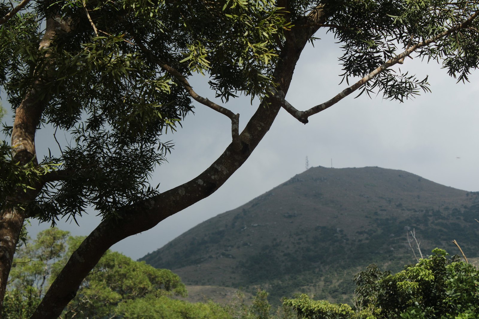
Geology and Landform
Maps and place-name materials from the Civil Engineering and Development Department locate Lantau Peak (official English name: Lantau Peak) within the eastern highland geological zone of Lantau Island. The mountains of this zone are underlain primarily by granite and volcanic rock; the ridgeline is sharply undulating, the summit terrain is open, and the commanding views down into the surrounding valleys follow from these conditions. Compared with Sunset Peak (869 m), the other major summit of Lantau Island, Lantau Peak is markedly more prominent; the approximately 65-metre difference in elevation between the two creates a clear vertical hierarchy along the Lantau ridge.
The South Lantau Country Park, within which the mountain stands, is managed by the Agriculture, Fisheries and Conservation Department. The park's mountain terrain brings the summit of Lantau Peak and the Ngong Ping plateau into a single natural unit; Ngong Ping lies at the northwestern foot of Lantau Peak, and the difference in elevation between the two constitutes one of the most representative topographic cross-sections within Lantau Island.
The Lantau Trail and the Mountain Path Network
Materials from the Agriculture, Fisheries and Conservation Department record that the Lantau Trail is one of the principal hiking routes traversing the Lantau highland; its alignment passes through the zone encompassing Lantau Peak and connects the Ngong Ping upland with other mountain nodes across Lantau Island. The trail takes its name directly from Lantau Peak and carries a geographically distinctive significance within the mountain framework of Lantau Island.
Origins of the Name
The Chinese name 凤凰山 (Fenghuang Shan) evokes the phoenix, and is associated with the mountain's appearance or local naming tradition; it is a well-documented mountain name in place-name records. Place-name materials from the Civil Engineering and Development Department provide the official alignment between the Chinese and English names, with "Lantau Peak" and 凤凰山 used interchangeably in official documents. The Hong Kong Yearbook topographic map further marks the mountain's height with the measured value of 934 metres, which stands as the currently citable official figure.