
The Drainage Divide
Two river systems carry water away from the divide. To the north, the Kutari feeds the Corentyne, which reaches the Atlantic along the coast of Guyana and Suriname. To the south, the headwaters of the Uanamú feed the Trombetas, which joins the Amazon. Early surveyors followed the watershed through low-lying forest, then climbed across broken ground and large rock outcrops as they approached the marker site.
The 1936 Survey Expedition
A 1935 report from Brazil’s foreign ministry describes how surveyors kept their expedition supplied with temporary camps and stores between river rapids. The joint survey record names Brazil, Britain and the Netherlands, representing Brazil, British Guiana and colonial Suriname. The marker they set identifies the historical junction recorded by the survey.
A Separate Boundary Question
Guyana and Suriname dispute the nearby New River Triangle, known in Suriname as Tigri. The published 2007 arbitral award between the two countries dealt with the maritime boundary and reproduces historical material about the survey. In September 2025, the two governments discussed their joint border commission.
Forest Cover and the Sentinel Record
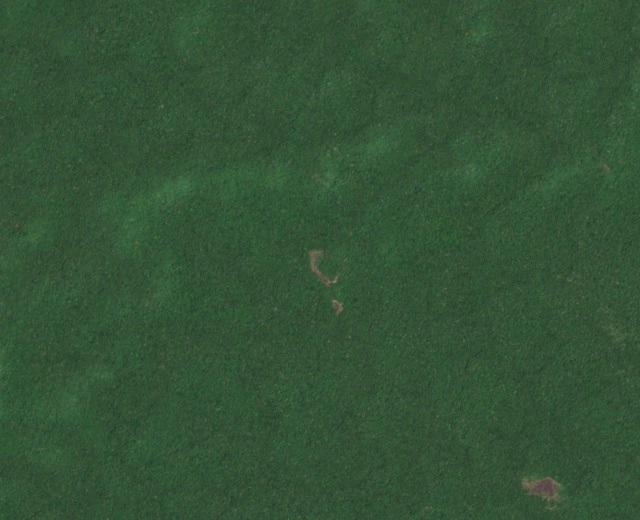
The Copernicus Sentinel-2B image from 11 October 2023 shows the forest canopy around the headwaters at ten metres per pixel. A lighter opening is visible near the marker’s approximate position.