
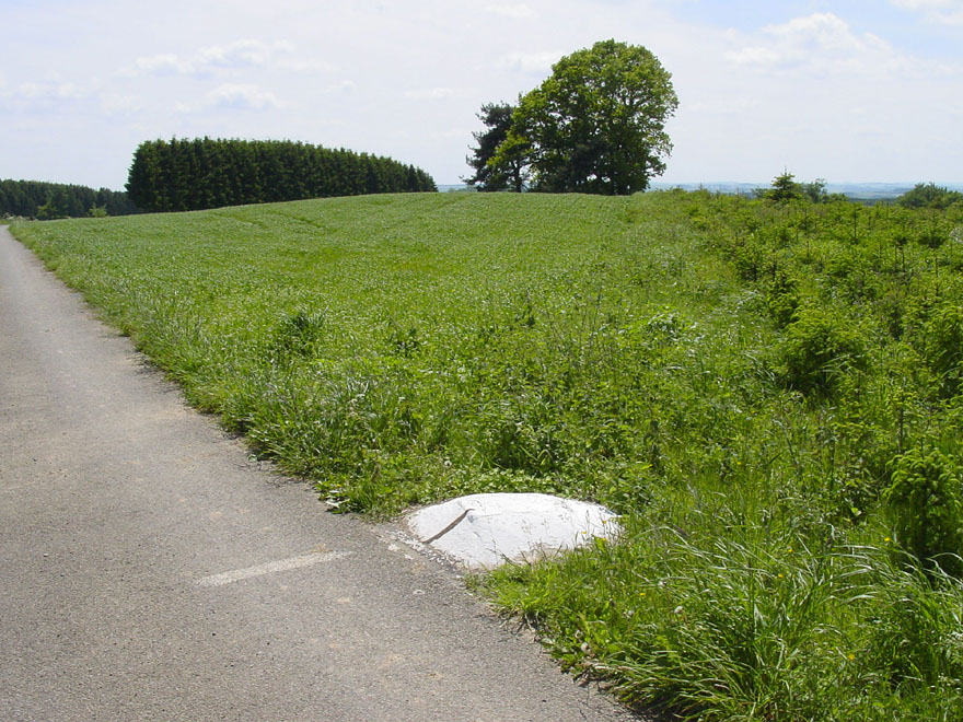
Plateau Setting and Terrain
Kneiff sits within the northern Ösling, known in Luxembourgish as the Eislek, which forms Luxembourg's section of the Ardennes plateau. The Luxembourg Geological Service sheet for the area records elevations across the mapped zone ranging from 275 m in the Our valley to 560 m at Kneiff. The broader plateau generally lies between 400 and 500 m, dissected by river valleys that cut well below the upland surface.
Survey History and the 558 m Marker
The Luxembourg Administration of Cadastre and Topography records a barometric national survey in 1905 under Jules Hansen. Photogrammetric work followed in 1952, tied to a partially completed national levelling network. At that stage the triangulation marker on Kneiff was measured at 558 m, while Buurgplaatz near Huldange in Luxembourg measured 559 m.
1994 Digital Flight and Revised High Point
The Administration of Cadastre and Topography conducted a digital flight in 1994, GPS referenced and tied to the completed national levelling network, with an updated database completed in 1997. That work found 560 m on the natural ground near the Kneiff marker. The triangulation marker and the highest ground are two distinct physical points and carry their own readings.