
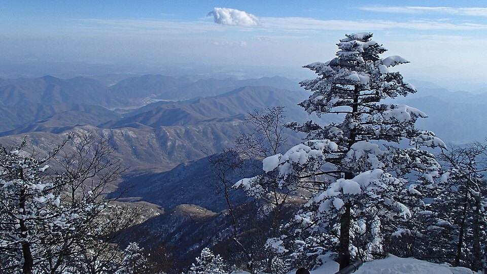
Reading the ridge through Cheonwangbong, Banyabong, and Nogodan
The Korea National Park Service gives the elevation of Cheonwangbong as 1,915 m. To the west along the ridge stand Banyabong (1,732 m) and Nogodan (1,507 m). Jirisan National Park spans South Gyeongsang's Hadong, Hamyang, and Sancheong counties, South Jeolla's Gurye, and North Jeolla's Namwon, so the first valleys and ridgelines a visitor encounters depend on which side of the mountain they enter from.
Near Cheonwangbong, a map shows the route from Jangteo-mok through Jeseokbong and Tongcheonmun to the summit. Around Seongsam-jae and Nogodan to the west, the direction of the ridge continuing toward Banyabong is easy to follow. Looking at the trails close to the summit and the paths climbing from the valleys to the main ridge together makes clear that Jirisan is a mountain connected across many peaks and waterways.
Layers of different eras at Hwaeomsa Temple, Gurye
At Hwaeomsa Temple on the lower slopes of the Gurye side stands the Four Lions Three-Story Stone Pagoda, made during the Unified Silla period. Its distinctive structure has four carved lions supporting the pagoda, and the Cultural Heritage Administration has designated it a National Treasure. The adjacent Gakhwangjeon Hall is likewise a National Treasure, a Buddhist worship hall dating from the reign of King Sukjong of the Joseon dynasty.
Placing the stone pagoda and the worship hall side by side shows how multiple eras of faith and architecture have accumulated within a single temple complex. The park authority's maps show a path leading up into the mountains along Hwaeom Valley. Finding the temple's position at the foot of the mountain alongside the ridges higher up the valley gives a clear picture of the terrain from the Gurye direction.
Asiatic black bear restoration, continuing from the first national park
Jirisan was designated South Korea's first national park in 1967. Protecting only the high peaks makes it difficult to preserve habitat for wildlife that moves between ridges and valleys. Managing the extensive forests of Jirisan led to this problem being addressed through an Asiatic black bear restoration programme.
The Ministry of Environment began full-scale Asiatic black bear species restoration work in Jirisan in 2004. Records tracking the movements and hibernation of released bears reflect the understanding that restoring a wild population does not end with release, but involves long-term observation of each animal's process of adapting to the forest.