
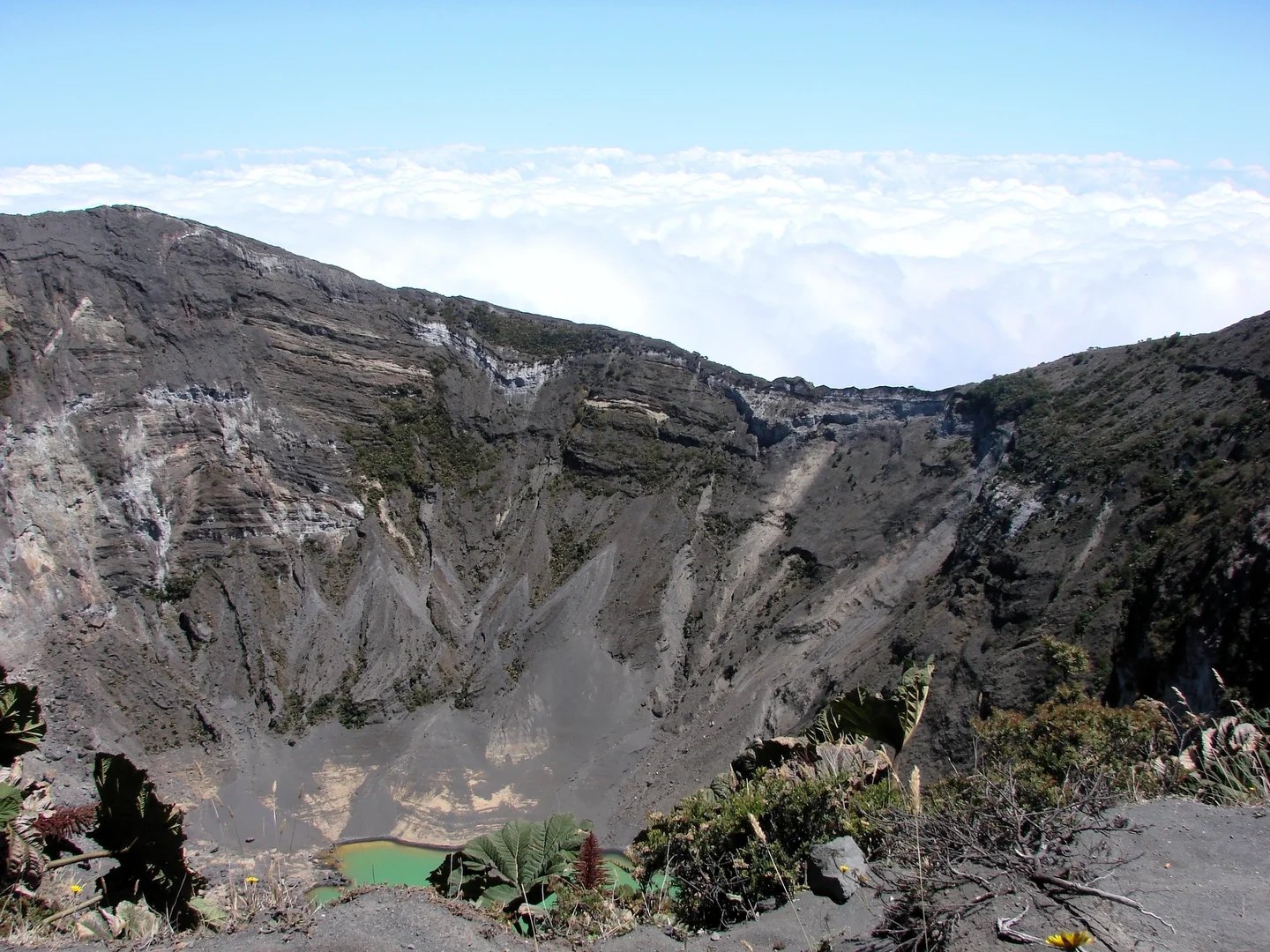
Architecture of a multiple summit
Irazú's morphology conforms to the typical pattern of a mature stratovolcano with a broad, relatively flat summit where craters of different ages and origins open. The Diego de la Haya crater is linked to the 1723 eruption, the first event recorded in the chronicles. The Principal crater occupies the western part of that same summit and was the center of activity during the twentieth century.
The eruptive phase of 1963 to 1965
On 13 March 1963 an eruptive sequence began that continued until 1965. Throughout that period, successive explosions ejected ash and solid fragments without producing lava flows. The pyroclastic material was deposited predominantly to the west, and ash reached San José, some 24 km from the volcano.
The deposits accumulated during the eruption altered the hydrology of Irazú's slopes. The buildup of loose material promoted erosion and triggered flows of water, mud, and rock fragments that descended through the stream channels. In December 1963, a major flash flood traveled down the Río Reventado and struck the city of Cartago.
Ground deformation and geophysical record
Topographic leveling surveys carried out by the Instituto Geográfico in May 1964, and documented in the USGS study, revealed that the upper part of the volcano had risen by as much as 11 cm relative to the 1949 measurements, which may indicate internal pressure that had built up during the period of activity. In September of that same year, measurements showed that the ground had returned approximately to its previous profile, suggesting a gradual decompression once the peak of eruptive activity had passed.