
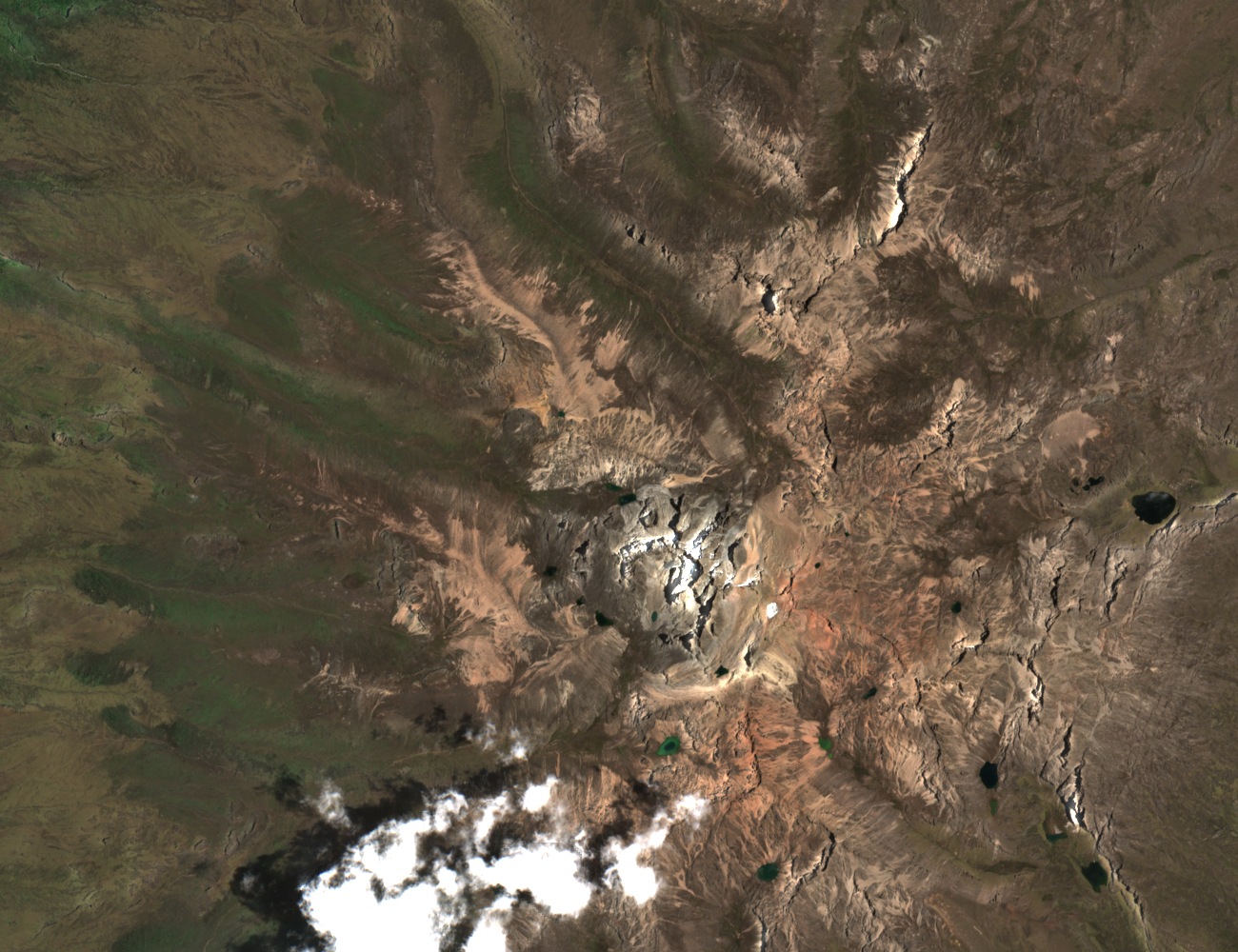
The saddle above the valley
The pass appears just above the snow-covered central peaks in the satellite image. Small lakes, known as tarns, occupy the hollows around the ridges. The Club Alpino Italiano recorded the crossing at 4,591 metres in 1994. Mount Kenya National Park and Natural Forest entered the World Heritage List in 1997.
A photographer on the 1899 expedition
C. B. Hausburg helped finance the 1899 expedition and served as its photographer and camp-master. Halford Mackinder recounts how Hausburg took a camera around the foot of the central peak with two men from Courmayeur, César Ollier and Joseph Brocherel. Mackinder spelled the photographer’s name and the valley’s name Hausburg. Modern maps use Hausberg for the valley, tarn and pass.
On 13 September 1899, Mackinder, Ollier and Brocherel reached Batian, the highest summit of Mount Kenya. The names of Ollier and Brocherel later appeared on maps of two glaciers above the Hausberg valley.
How the mapped glaciers changed
When Raouf Rostom and Stefan Hastenrath compared aerial surveys from 1993 and 2004, they measured the César Glacier shortening from 275 to 200 metres. The Joseph Glacier was 200 metres long in 1993 and occupied 6,000 square metres. By 2004 it no longer appeared separately on the map. The researchers counted a surviving strip of approximately 1,000 square metres with the César Glacier.