
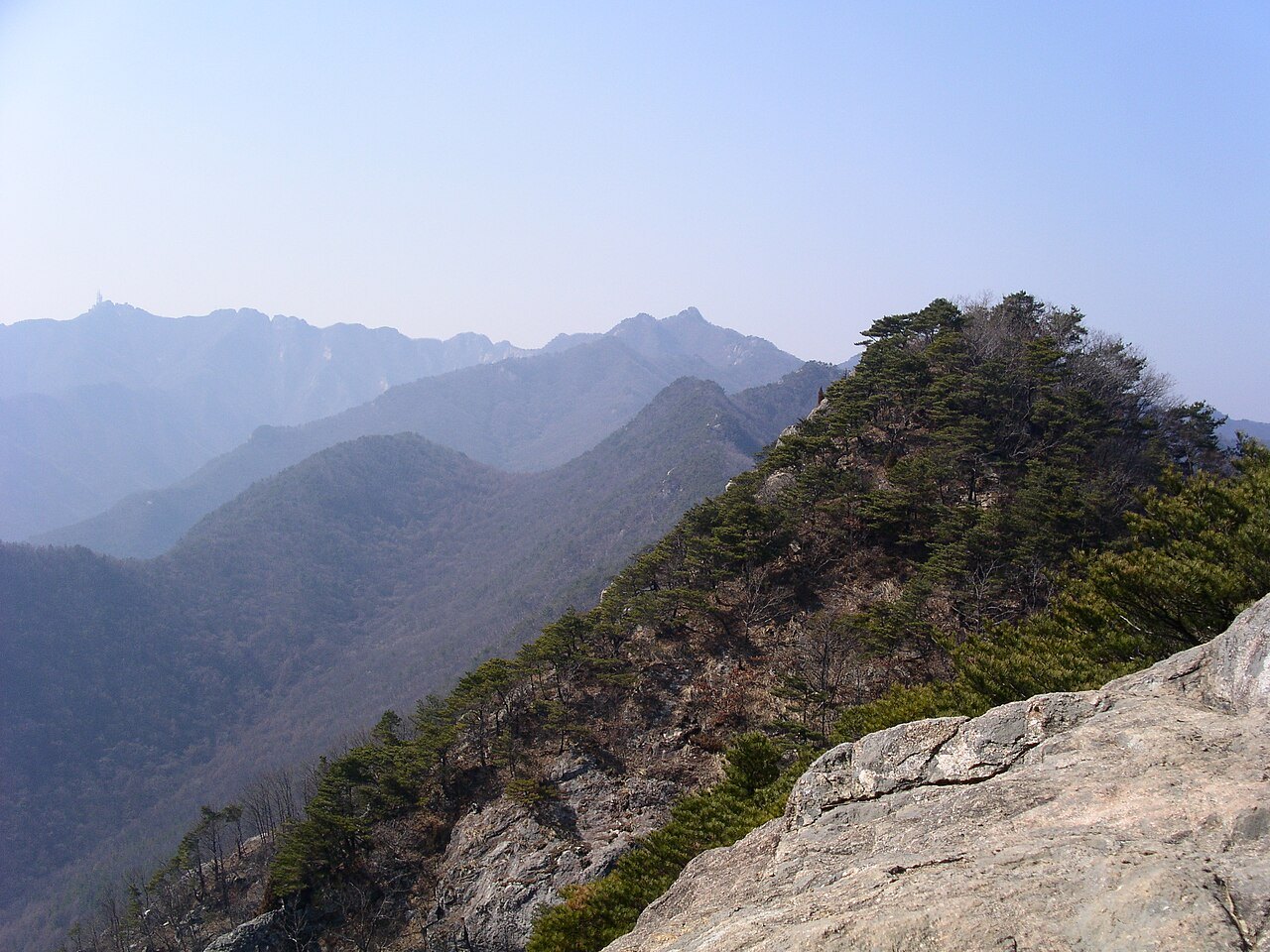
The ridge that gave the mountain its name
The name Gyeryong — meaning 'chicken-dragon' — is said to derive from the resemblance of the ridge running from Cheonhwangbong toward Yeoncheonbong and Sambulbong to a dragon wearing a rooster's comb. Because the valleys cut deeply between the peaks, the undulations of the ridge are clearly visible from outlying spots such as Janggunbong.
In the Gyeryongsan area, Jurassic porphyritic granite and Cretaceous granitic rocks that intruded into later strata are both present. According to the topographic description of the Academy of Korean Studies, some of the dykes were more resistant to weathering than the surrounding rock and therefore more likely to remain as ridges. Around Gwaneumbong, rocks that have fallen from the cliffs can be seen accumulating on the slopes.
Jungakdan, legacy of the state's mountain-spirit rites
Gyeryongsan was called the Western Sacred Mountain in the Silla period and the Central Sacred Mountain during the Joseon dynasty. At the founding of Joseon, it was considered as a site for the new capital and palace construction even began, but the transfer was never carried out. How the dynasty regarded the mountain can be explored at Jungakdan, within the precinct of Sinwonsa.
Jungakdan was the site where the state performed rites to the spirit of Gyeryongsan. The Cultural Heritage Administration states that the present buildings were rebuilt in 1879, the sixteenth year of King Gojong's reign. The fact that a Buddhist temple and a site of state ritual stand side by side within the same precinct is a defining historical characteristic of this place.
Two valleys seen from Donghaksa and Gapsa
Gyeryongsan was designated a national park on December 31, 1968. The Korea National Park Service, in describing the trail connecting Donghaksa and Gapsa, identifies the spring foliage of Donghak Valley and the autumn colours of Gapsa Valley as the respective signature landscapes of Gyeryongsan. The two temples and their valleys demonstrate that even within a single mountain, entirely different scenery unfolds depending on the season and direction from which it is viewed.