
Steep Slopes and Highland Rainfall
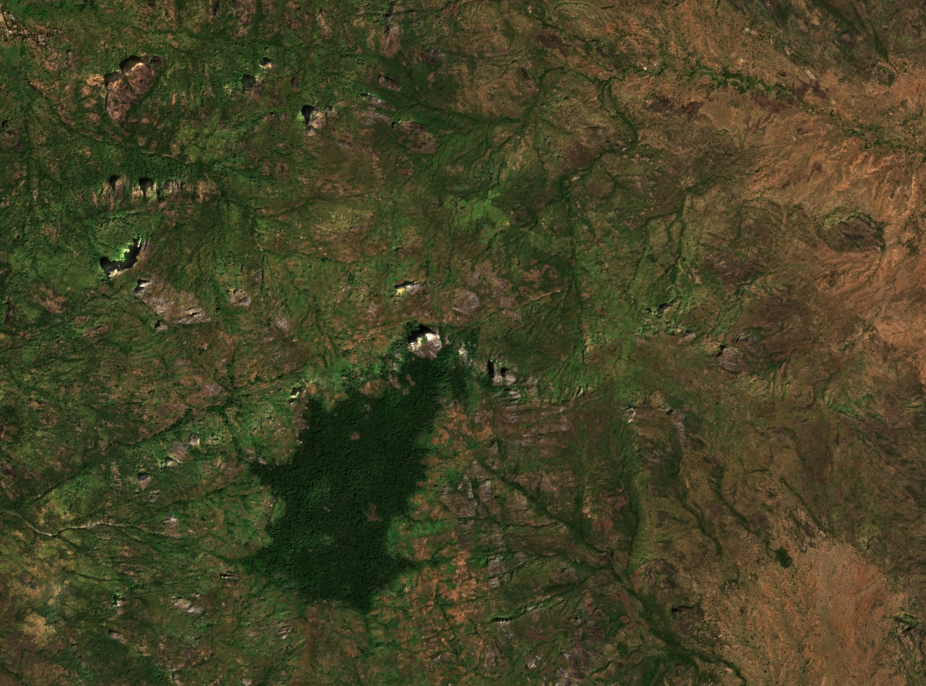
A UNEP post-conflict environmental assessment of Sudan's southern ranges describes the Dongotona massif as characterised by steep slopes and elevated rainfall relative to surrounding lowlands. These conditions sustain forest cover and montane vegetation on the higher ground, contributing to a landscape that supports distinct ecological communities across the range.
Rainforest and Grassland Mosaics
The 1992 IUCN assessment identifies rainforest and grassland mosaics among the southern upland blocks of this region. These interlocking vegetation types reflect differences in aspect, elevation, and moisture across the massif, forming a layered ecological pattern documented in the broader conservation survey of southern South Sudan's mountain forests.
Montane Forest in the Imatong–Dongotona–Lafit Survey Region
A 2024 environmental report prepared for the African Development Bank groups the Imatong, Dongotona, and Lafit uplands as a combined survey region, describing montane forest in this area that includes Olea capensis. The report provides ecological context for the broader massif cluster, with the Dongotona group forming a distinct component of that upland system.