
Traces of an ancient sea
The Fej Atroument section in the Biréno massif was studied by Mohamed Faouzi Zagrarni, Michel Hennebert and Mohamed Hedi Negra in a 2007 paper. The researchers collected samples from lower to middle Turonian (Upper Cretaceous) layers to reconstruct an ancient low-angle carbonate ramp. The lower unit, 18 m thick, begins with fine grey limestones containing ammonites and other marine fossils, then passes into beige limestones with fragments of rudists (now-extinct marine bivalve molluscs) and algae.
At the base of the upper interval, 58 m thick, shell debris is sorted by size in storm deposits. Higher up, a limestone lens contains rudists packed closely together. The team interpreted the succession of fossils and deposits as evidence of a gentle submarine slope, where shallow waters gradually gave way to the open sea.
Ridges and wadis
In 1940, archaeologist Paul Fitte was working in the area around Kasserine. In his report published in 1944, he places the source of Wadi El Hatab in the Djebel Biréno massif, which he associates with the Tébessa mountains. Wadi Derb, beside which he had set up camp, joins the El Hatab.
Hydrological studies carried out between 1976 and 1981 in the Djebel Semmama region describe alluvial plains stretching between the relief features. The Foussana depression, oriented transversely to the ridges, belongs to a system of Quaternary tectonic grabens in central Tunisia.
A forest on the edge of the Tell
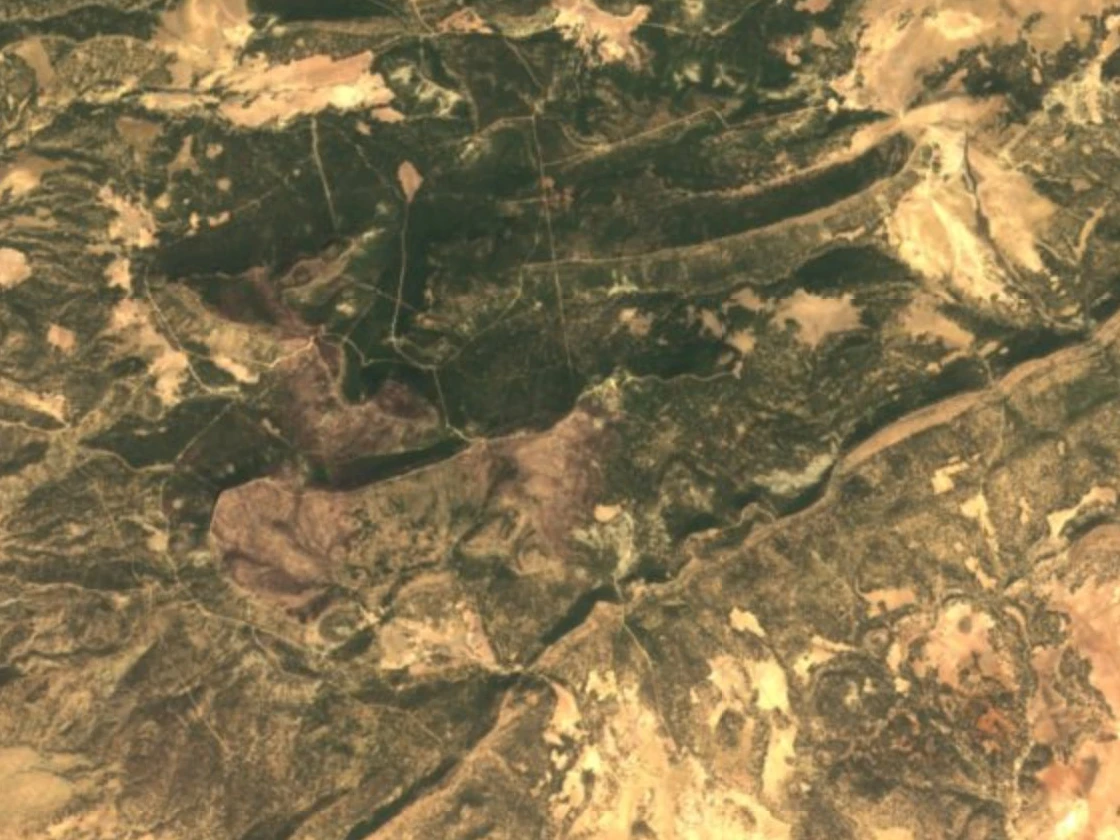
In his work on the High Tell published in 1913, Charles Monchicourt already records an elevation of 1,419 m for Biréno. He describes forests in the vicinity of Biréno and Djebel el Ajered, and notes Aleppo pines around Thala. His study places the massif at the transition between the landscapes of the Tell and those of the steppe.
Farming on the slopes
In a 2018 interview, farmer Skander Hamzaoui refers to the massif by the name Djebel Birheno and describes the conditions specific to his family's land around Thala: hot summers, harsh winters and no directly accessible water sources on the slopes where he farms. His family grows almond trees, pistachio trees and cereals there.