
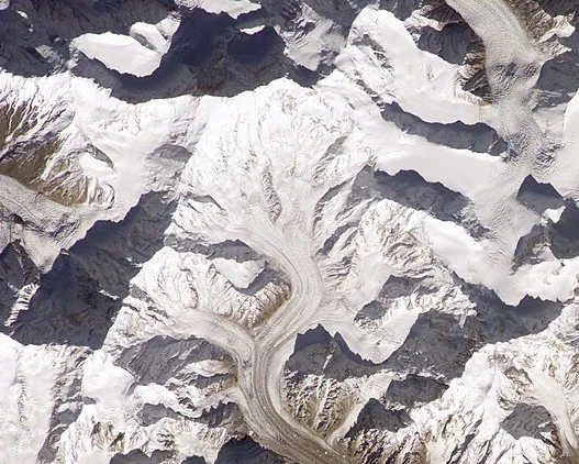
A Massif of Multiple Summits
The Pakistan Ministry of Foreign Affairs mountain register treats Distaghil Sar Main, Distaghil Sar No. II, and Distaghil Sar East as separate entries, a distinction that reflects genuine topographic complexity on the upper massif. Any account of climbing history on this peak must therefore be precise about which high point a given party targeted, since the main summit at 7,885 m is not the only objective the range presents. The Hispar and Khiang glaciers frame the approaches from the south, and it was along these ice corridors that the first serious modern expeditions navigated before committing to the upper faces.
Early Attempts and the 1960 Austrian First Ascent
Before the Austrians succeeded, two earlier expeditions had probed the mountain without reaching the top. A British team attempted the south face in 1957, and a Swiss expedition examined the southwest ridge in 1959. The Austrian expedition led by Wolfgang Stefan arrived the following year, approached via the Hispar and Khiang glaciers, and chose the line of the British south-face attempt over the Swiss southwest-ridge option. On 9 June 1960, Günther Stärker and Diether Marchart pushed through the final difficulties, passing at least one other high point on the massif before standing on the main summit. The descent tested the team severely: a storm closed in on the return, forcing them to weather dangerous conditions before reaching safety.
The 1982 Spanish Ascent
More than two decades after the Austrian success, a Spanish team under Joaquim Prunés returned to the mountain. On 31 July 1982, team members Ramón Biosca and Jaume Matas reached the summit. Prunés, writing in the American Alpine Journal, described a route that broadly followed the Austrian line but diverged on the lower section and placed a later high camp on the west ridge. Prunés characterised the climb as the second ascent of Distaghil Sar in his AAJ account; however, other modern chronologies of the peak do not align with that designation, so the 1982 climb is best understood as a confirmed dated summit rather than as a fixed ordinal in an agreed sequence.
Name and Survey Identity
The Pakistan government register uses Distaghil Sar, while certain American Alpine Journal reports use the historic spelling Disteghil Sar. The Hispar Muztagh, the sub-range that holds the peak, is itself a distinct unit within the broader Karakoram, and Distaghil Sar stands as one of its highest and most geographically prominent members. The 7,885 m figure derives from the Pakistan government survey of the main summit and should be understood as the official registered elevation for that specific top, separate from the elevations of the neighbouring subsidiary summits on the same massif.