
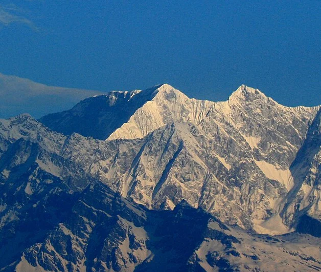
The 1975 First Ascent
The first ascent of Dhaulagiri V was achieved on 1 May 1975 by Masaaki Morioka and Pemba Tsering Sherpa, climbing as members of an expedition led by Eiichi Umeki and sponsored by Okayama University. The team's approach followed the Myagdi Khola, the river valley that drains the southern flanks of the Dhaulagiri massif, before the route turned upward along the south ridge. The American Alpine Journal documented the ascent, though elevation figures cited in older AAJ reporting should be distinguished from the modern government survey value of 7,618 m now carried in the Nepal registry.
The Himalayan Database records that the expedition established a high Camp IV on 26 April 1975 at 7,000 m, five days before the summit pair reached the top. That sequence — a camp at 7,000 m followed by a summit push to 7,618 m — speaks to the technical and logistical demands the south ridge placed on the team, requiring a sustained commitment in the final 600 vertical metres before the top was gained.
The Massif and Its Distinctions
The Dhaulagiri Himal contains multiple peaks sharing the Dhaulagiri name, and care is required in distinguishing them. The Nepal Department of Tourism registry and the Himalayan Database both assign 7,618 m to Dhaulagiri V specifically, a figure that sets it apart from the elevations recorded for Dhaulagiri IV and Dhaulagiri VI. The DHA5 identifier in the Himalayan Database provides an unambiguous reference point within the expedition archive, where the records for neighbouring peaks are catalogued under their own separate identifiers.
The 1975 expedition approached Dhaulagiri V through the Myagdi Khola, a valley running through Myagdi District in western Nepal, and ascended via the south ridge. Expedition records document this as the route establishing the first ascent.
Later Ridge Exploration
The Himalayan Database records a separate ascent in 1979 that involved the southeast ridge of Dhaulagiri V. This documented activity indicates that the south ridge climbed in 1975 was not the only line to attract mountaineering attention; the southeast ridge represents a geometrically distinct feature of the peak, and its exploration in 1979 marks a second phase of engagement with the mountain's upper terrain. The Himalayan Database archive holds the expedition records for this later effort, though detailed reconstruction of its summit sequence falls outside what the available reporting confirms.
Elevation and Survey Context
The 7,618 m figure assigned to Dhaulagiri V appears in Nepal's Department of Tourism facts and figures for 2025 and in the Himalayan Database records, placing the peak in the category of mountains above 7,500 m. Both the government registry and the Himalayan Database agree on this figure. Older sources, including pre-modern AAJ reports, may cite variant elevations reflecting the survey data available at the time of publication.