
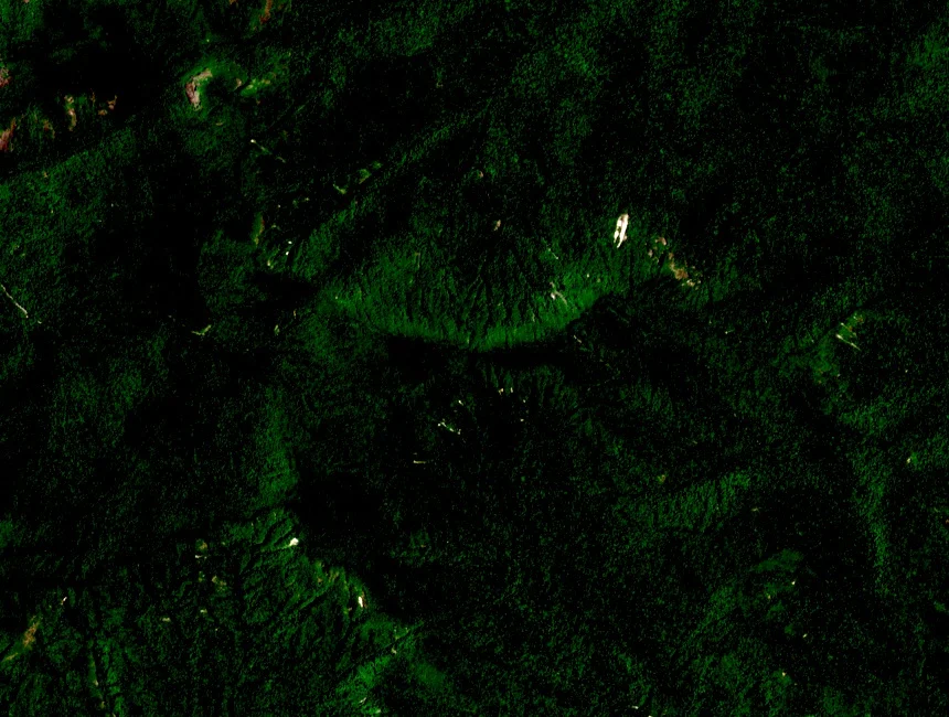
Summit and National Park Designation
Chư Yang Sin National Park, designated 12 July 2002, encompasses the 2,442 m summit and extends across Đắk Lắk province well beyond the peak itself. Provincial planning documents treat the summit as the apex of a broader conservation area whose boundaries enclose multiple habitat types across the highland massif.
Forest Transitions by Elevation
VietNature BirdLife field documentation records lowland semi-evergreen forest below 800 m on the massif's lower slopes, with montane evergreen forest prevailing at higher elevations. Upper ridgelines carry low elfin formations adapted to cooler temperatures and persistent moisture, with these altitude-driven transitions accounting for the park's recorded floristic diversity.
Êđê and M'nông Villages in the Park Landscape
The provincial ecotourism development plan of September 2022 situates the national park within a landscape where Êđê and M'nông villages lie in and around the protected area. The plan records that individual villages retain distinct relationships to the surrounding land, noting this human geography as part of the broader park setting.