
Geology and morphology
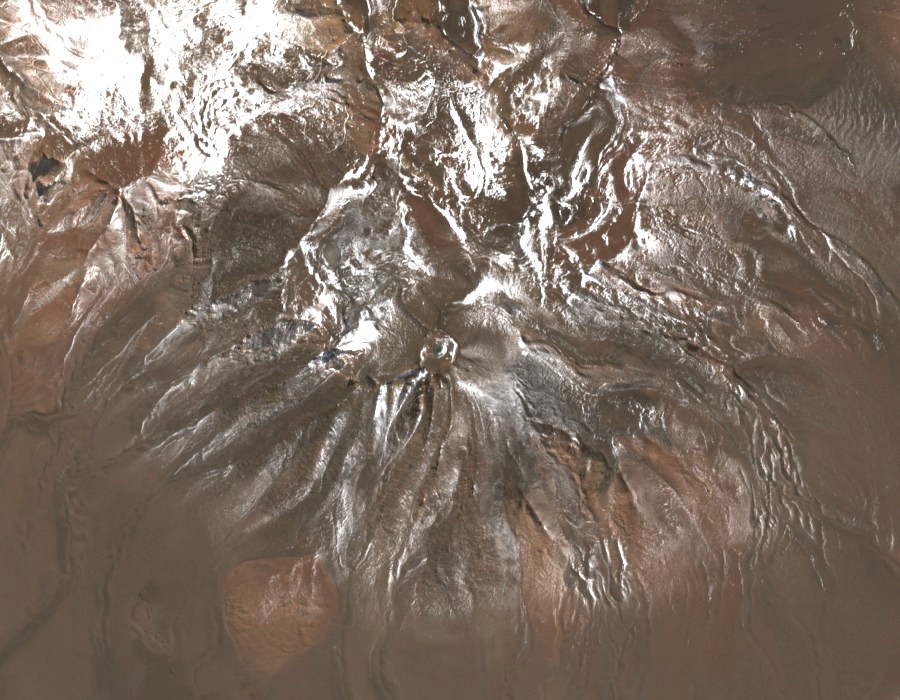
The Global Volcanism Program classifies the edifice as an andesitic structure formed during the Pliocene–Pleistocene. The crater measures around 400 metres across, and a small body of water has been observed in its interior on satellite imagery.
Position within the volcanic chain
Sernageomin places the volcano at the southeastern end of the Azufre–Inacaliri chain. The alignment brings together several volcanic edifices in the high-plateau border sector of the Antofagasta Region.
Cartographic documentation
The cartographic sheet known as Cerro del Cajón o Inacaliri was produced from aerial photographs taken in 1964 and classified in 1967, according to the records of the Biblioteca Nacional Digital de Chile. That documentation establishes the dual place-name of the volcanic edifice.