
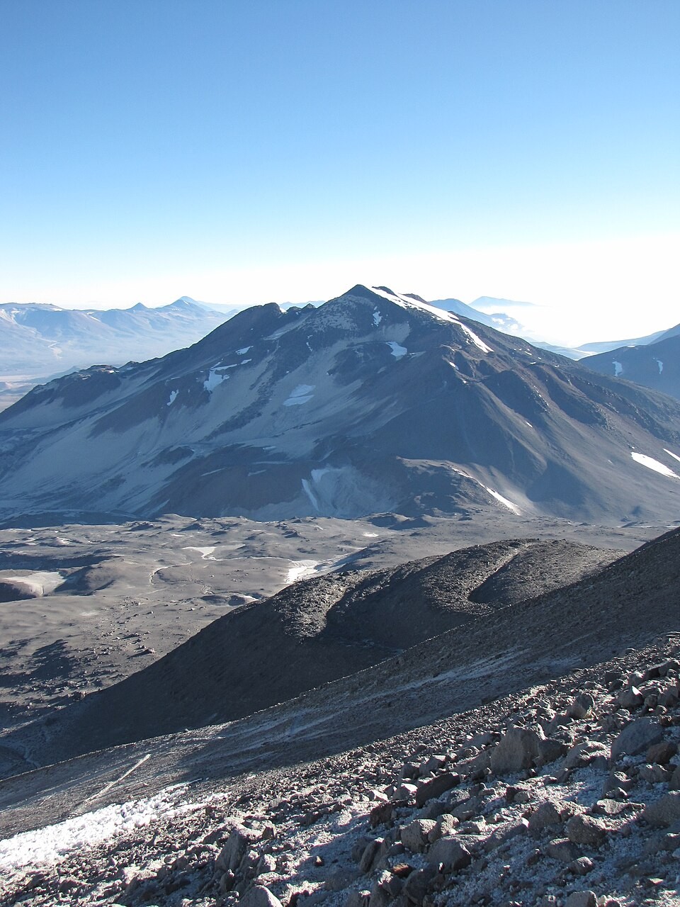
Geology of the dacitic cone
Grosse's inventory classifies El Muerto as a dacitic cone and assigns an approximate age of 450,000 years to the material dated in the samples, a figure referring to the analysed fragments and not to the edifice as a whole. The map published by Ruiz in 2025, in the context of a study on subsurface ice in the massif, records the summit at 6,488 m.
The cartographic confusion of 1950
In 1950, a Chilean party reached a summit then identified as Ojos del Salado. H. Adams Carter, in a report published in the American Alpine Journal in 1957 based on his 1956 expedition, interpreted from the description of the terrain—including the reference to a notably higher mountain to the west—that this peak was probably El Muerto.
Position within the massif
Carter's expedition also carried out a topographic survey of Ojos del Salado, work that helped distinguish the two summits within the same volcanic massif. USGS records document regional snow and ice in the dry Andes, without describing current glacial conditions on the peak.