
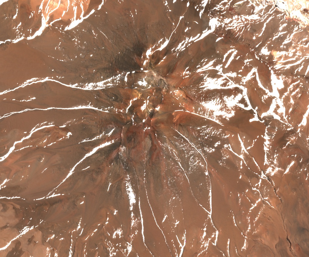
A cone cut by a scarp
Geological surveys identify Cerro de la Aguada as one of the volcanoes around Antofalla. A straight escarpment cuts across the cone. Published mapping leaves open whether erosion alone formed the scar. One andesitic lava sample attributed to the volcano dates to 12.9 ± 0.8 million years ago.
Reichert in 1904
A survey account published in 1911 placed Cerro de la Aguada at the eastern end of a curved chain of mountains above Alto de Potrero Grande. The German-born chemist Friedrich “Fritz” Reichert came to Argentina in 1904 to investigate borate deposits. In his reconstruction of Reichert’s climbs, mountaineer Evelio Echevarría dated the ascent of Cerro de la Aguada to May of that year.
A centenary ascent in winter
On 28 August 2004, Guillermo Almaraz led a team from clubs in Mar del Plata and Salta to the summit. They recorded remains interpreted as an Inca ceremonial site, physical evidence of an older history on the mountain. They found no trace of Reichert’s visit and wondered whether he had climbed a different summit. Echevarría considered that unlikely.