
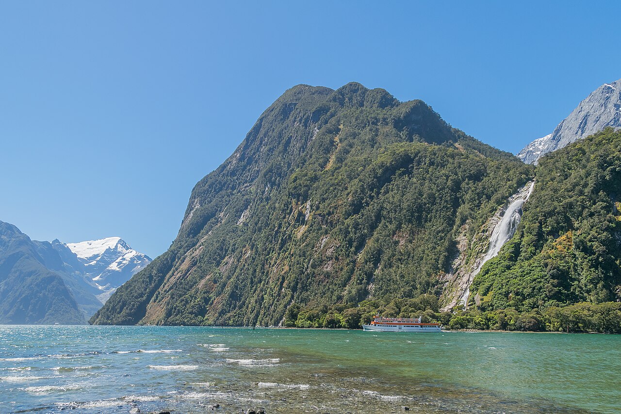
Glacial Walls and the Hanging Valley at Bowen Falls
University of Canterbury fieldwork identifies Cascade Peak among the steep mountains whose walls descend directly into the fiord. Repeated glaciations carved the main valley deeper than the valleys of its tributaries. Waterfalls now descend from several of those hanging valleys into the fiord. Bowen Falls, recorded at 161 metres by the Department of Conservation's Milford land analysis, exits one of these hanging valleys in the Darran Mountains and is visible to the right of the peak in the photograph.
The Bowen River also supplies water for hydroelectric power at Milford Sound / Piopiotahi. A Department of Conservation assessment records an intake in the valley and a steep pipe carrying water towards the generating station.
Piopiotahi and the Traditions of Ngāi Tahu
According to Ngāi Tahu, as recorded by the Department of Conservation, Piopiotahi holds significance as the site of the final work of the land-shaping atua Tū Te Rakiwhānoa.
The Department of Conservation describes sea routes that carried takiwai, a form of pounamu, toward Murihiku. An inland route followed part of what is now the Milford Track, crossing Ōmanui / Mackinnon Pass and descending the Clinton River towards Lake Te Anau. These corridors situate the fiord, and the peak above it, within a wider geography of travel and exchange.
The Bowen Valley as an Approach to the Darran Mountains
In a first-person account published in March 2025, climber Rose Pearson describes how she and Tanja de Wilde made the first ascent of the west face of Mount Grave, a neighbouring peak, via a three-day route that began with an approach through the Bowen Valley. They climbed the upper face and traversed the crest to reach the summit of Mount Grave on the third day. The report traces the line on a photograph of Mount Grave taken from Cascade Peak.