
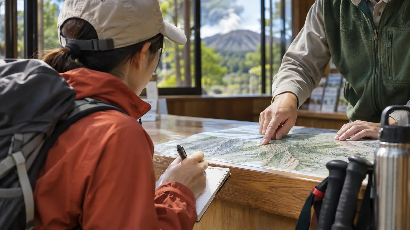
Visitor center advice can tell you what conditions were like when they were checked. Weather can change after you get that advice. Drawing on official pages available on November 4, 2026, this guide explains how to record the time that advice applies to and use it to set your own turnaround conditions. Use what you learn to update your plan.
Ask which stretch of trail the advice covers and when it was checked
Visitor centers are a good place to learn about conditions before a hike. Mitake Visitor Center describes first-floor exhibits on seasonal wildlife and plants and up-to-date hiking information for the area. Its interpreters provide information about trails and nature. The Tanzawa visitor centers invite questions about recent reports of land leeches and what to do about them. Their individual blogs cover seasonal nature and trail conditions.
Mitake's page describes its hiking information as “real-time.” At the desk, ask which section it covers and when it was last checked. Morning conditions at the foot of a mountain, for example, tell you little about afternoon weather on a ridge. Describe your equipment, experience, and itinerary and ask what conditions the advice assumes. Record when you received the information and when conditions were actually checked so you can tell the two apart later.
What dated trail reports from Nasu can teach you
Nasu Highland Visitor Center publishes dated reports on lingering snow on Mount Nasu, shelter closures, damage and repairs on sections with chains, walking path closures, and autumn foliage. An archived snow report dated May 8 describes conditions “as of May 8” and says they can change with temperature and weather. The list includes reports from different years. Check the date before using any report to assess current conditions.
Look at how the reports frame their warnings. A report dated April 25, 2025 cautions against assuming the summer trail or pink ribbons make it safe to continue. A shelter report urges hikers to be ready to turn back even if a shelter lies ahead. The center warns that lingering snow can make it easy to lose the route and recommends using a map and GPS. A separate report asks hikers to carry a 1:25,000 map. It advises using hiking shoes or boots and says slippery sneakers or sandals are unsuitable. These reports apply to Mount Nasu. Check local advice for other mountains.
The reports share information while asking hikers to keep the option of turning back. Confirm the circumstances behind any advice you receive at the desk and take those into account in your plan. Favorable advice is one piece of information, tied to those conditions. Assess the route yourself before continuing.
Check weather, volcanic activity, trail closures, and event cancellations separately
Use separate sources for these checks. Nasu Highland Visitor Center asks hikers to check the forecast and bring appropriate gear. For Mount Tarumae and Mount Eniwa, Lake Shikotsu Visitor Center directs hikers to the Japan Meteorological Agency's information for volcano hikers. When planning a volcano hike, select your mountain and check the latest bulletin. For closures, the Tanzawa visitor centers direct hikers to the closures section of their Tanzawa hiking page.
Events also have weather conditions. Lake Shikotsu's November 7, 2026 walk through the forest of giant trees at Okotan-zaki was listed as subject to cancellation in bad weather. It crossed forest and brush away from trails. The center required hiking gear including boots, rain gear, drinks, trail food, a hat, and gloves. Short sleeves and shorts were prohibited. The center said it could decline to take anyone whose clothing or footwear was unsuitable. The event was limited to eight people and was marked full when checked on November 4. The center later reported that it canceled the November 7 walk because of snowfall.
The center sets weather and equipment conditions in advance and can change its plans based on conditions that day. The listing does not say how it decides to cancel or how it contacts participants. If you plan to register for an event, ask the organizer. Write down where you will check weather, volcanic information, and trail closures, and go through each check for your itinerary.
Use the advice to set your own turnaround conditions
Before leaving, organize what you heard into three lines on paper or on a device you can refer to. Write at home or stop on stable footing out of the way of other hikers. Wait until you find a suitable place before taking notes or using the screen. If you are unsure of your direction or safety, stop somewhere safe and address that before continuing.
On the first line, record what you heard, when you heard it, and the trail section. On the second, list what could change the information. On the third, write where and under what conditions you will turn back. Start the second line with temperature and weather, as in the Nasu reports. Add the results of checking forecasts, volcanic bulletins, and closures. List each source separately so you can see where the information came from.
Keep your turnaround conditions even when the advice sounds favorable. As the Nasu reports point out, a shelter, a summer trail, or pink ribbons provide little basis for deciding to press on. The Tanzawa visitor centers advise filing a hiking plan, carrying a map and light, and descending before sunset. Use that guidance when setting a turnaround time. The specific time depends on your mountain and itinerary.
If a report is undated or old, or staff cannot tell you when it was checked, treat the conditions as unverified. Avoid a plan that depends on passing that section. Adjust the hike so you can turn back comfortably before reaching it. Plan for a safe place to stop if any of your conditions are unmet.
Summary: Record the advice and use your own conditions to make the decision
Visitor center exhibits and interpreters can help you prepare. Mitake's description of its “real-time” information and Nasu's “as of May 8” wording both draw attention to timing. Temperature and weather can change what you find. Record when and where the advice applies, check weather, volcanic activity, and closures with separate sources, and turn the results into a three-line plan with your own turnaround conditions. This leaves you room to stop before a section if conditions do not fit. Keep a record you can review afterward to help with your next decision.
References and sources
- Nasu Highland Visitor Center: Trail Information
- Tokyo Metropolitan Government Bureau of Environment: Mitake Visitor Center
- Kanagawa Park Association: Tanzawa Visitor Centers
- Lake Shikotsu Visitor Center: Nature Observation Events, Fiscal 2026
- Lake Shikotsu Visitor Center: Official Visitor Information
- Lake Shikotsu Visitor Center, October 2026 bulletin
- Japan Meteorological Agency, Mount Tarumae volcanic activity
- Japan Meteorological Agency, Mount Eniwa volcanic activity
- Tanzawa visitor centers, current closures