
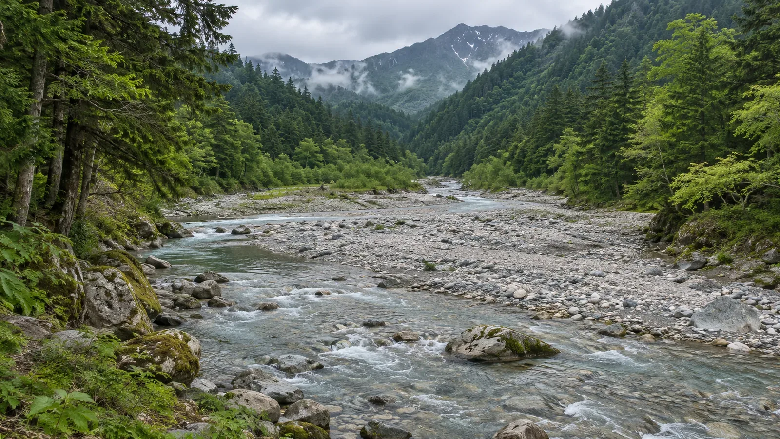
A valley’s width depends on the shape of the terrain along that stretch. Drawing on examples from Japan’s mapping agency and river managers and the original study on Kamikochi, consulted on October 28, 2026, we look at how to read broad basins and narrow reaches one section at a time. We propose a map exercise that separates river width from valley-floor width so you can compare like with like.
Decide which width you are looking at
Does a valley get progressively narrower as you follow the river upstream? A general idea of river landforms gives you a starting point. On a topographic map, look at the shape of the particular stretch. Here we look at the valley floor between the slopes and at the position of basins and narrow reaches. Keep a narrow river and a narrow valley as separate observations.
In its guide to representative landforms, GSI describes a gorge as a valley with steep sides and no flat valley floor, giving it a V-shaped cross-section. The slopes on either side and any flat ground at the bottom help you identify the landform. When you see one blue river line, check separately how the ground on the valley floor opens out around it.
The same guide lists Akashiba Gorge in Yamagata Prefecture as the narrow outlet of the Oguni Basin. A narrow reach at the downstream end of a basin is a reminder that valleys do not simply widen from headwaters to mouth. The guide identifies the landform. It does not provide a measured width or show where it is safe to walk.
Some rivers pass through narrow reaches between basins
Japan’s Ministry of Land, Infrastructure, Transport and Tourism describes the upper and middle Mogami River as a series of basins, including Yonezawa, Yamagata and Shinjo, and narrow reaches, including Arato, Oyodo and Mogami Gorge. Mogami Gorge lies downstream of the Shinjo Basin. Mark the basins and narrow reaches by name instead of assuming a section’s shape from its place along the river.
The same source notes that the river widens around the Yonezawa and Yamagata basins and that the channel is narrow on the stretch from the Yamagata Basin to the Shinjo Basin. These observations describe the river’s width. Read them separately from the description of how basins and narrow reaches are arranged. A channel measurement or a photograph of the water surface does not give the width of the whole valley.
For this map exercise, start with a wide view. Follow the river and write down the names of basins and mountain sections. Then zoom in to see how the valley floor meets the slopes on both sides. Keeping the wider map in view helps you place the section in the surrounding terrain. The Mogami is a case to study, and other mountain streams can take very different forms.
A mountain valley can have a broad, gently sloping floor
Kamikochi is one example. Satoru Harayama’s 2015 paper describes it as a valley-floor basin surrounded by high peaks, including the Yari–Hotaka range. It puts the width of the basin at 600–900 m. The figure refers to the basin, independently of the river’s current water surface or the width of the trails.
The paper gives a gradient of 8‰ over the 10 km stretch from Taisho Pond to Tokusawa. Read the measurement together with the section it describes. A broad valley floor, a gentle grade along it, and the steepness of the slopes around it are different features. An overall gradient does not tell you how easy each trail or slope will be to walk.
Harayama relates the broad, gently sloping floor to sediment that filled an ancient lake. The lake formed when activity in the Yakedake volcanic group dammed the ancestral Azusa River. This is the paper’s account of how Kamikochi formed. It does not establish how every volcanic valley or naturally dammed river will develop. Its 2015 field-trip routes and facility descriptions are historical information.
Compare valley floors and slopes separately at the same scale
The Upper Arakawa River Office explains how erosion of the bed and banks can form a V-shaped valley in a mountain river’s upper reaches. The same guide describes upper reaches that contain basins in Japan. It calls a basin flat land between mountain areas and notes that the Arakawa flows through the Chichibu Basin. Check the shape of the individual section before deciding what its upper-river position means.
For the exercise, open two sections of the same river at the same scale. Give the notes three fields: the water surface or line, the flat part of the valley floor, and the slopes on each side. This is our way to organize a map comparison. A technical survey might define a common elevation for measuring valley width. If you cannot place a boundary in this exercise, write “edge of valley floor unclear” and leave out a measurement.
If one view is zoomed in farther, comparing apparent widths is misleading. A diagonal line crossing a river bend may also measure something different from a line across the valley elsewhere. Before noting a figure, write down what you are looking at, which direction the line runs and which area it covers. A thicker river line on the map cannot establish how the valley has widened or narrowed.
None of these sources gives a rate of valley narrowing that applies to every mountain or a rule for calculating the width at a given point upstream. Work from the sections you can actually read and leave other sections open. A broad mountain basin elsewhere also tells you little about the terrain farther along your planned trail.
A broad valley floor offers no guarantee of solid footing or a place to get away from rising water. Stay on the trail when checking the map instead of descending to the gravel bars or crossing the valley off trail. Check current access information for the section you plan to walk and stop in a stable place to compare the map with the terrain.
Read each stretch by its shape
Check the position of basins, narrow reaches and gorges individually. Akashiba Gorge at the outlet of a basin, the basins and constrictions along the Mogami, and the broad mountain valley floor of Kamikochi all show how varied a valley can be along a river.
Compare the river width and valley-floor width separately, keeping the scale, features and area comparable. Describe the section you can see and leave the width of unread or unchecked sections open.
References and sources
- Geospatial Information Authority of Japan (GSI): Representative Landforms of Japan — Landforms Shaped by Rivers (gorges and Akashiba Gorge)
- Ministry of Land, Infrastructure, Transport and Tourism (MLIT), Yamagata Office of River and National Highway: Mogami River System Planning Overview — The Mogami River
- Satoru Harayama (2015): Geomorphic Development of the Kamikochi Basin, and Quaternary Yari-Hotaka Caldera and Takidani Granodiorite Complex, Journal of the Geological Society of Japan 121(10), pp. 373–389 (abstract)
- MLIT, Upper Arakawa River Office: The Upper Reaches
- MLIT, Sakata Office of River and National Highway: Overview of the Mogami River