
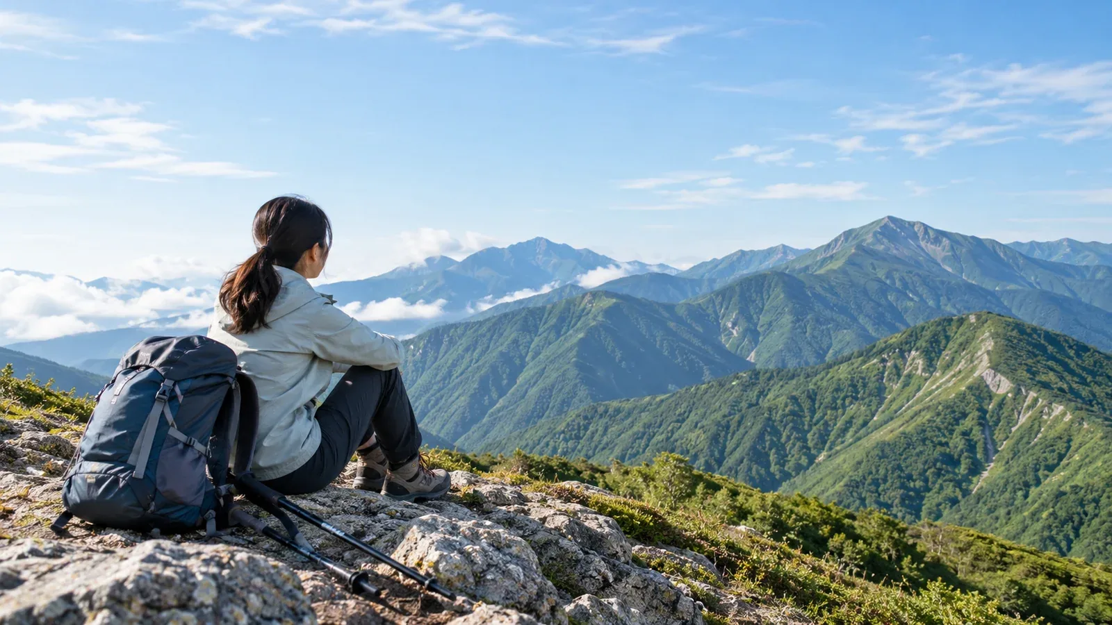
Do you need hiking shoes? Can you hike if you aren't very fit? Is it safe to go alone? Here are 30 common questions about gear, fitness, planning, safety and etiquette.
Start with whichever section addresses your concern. Each short answer explains the reasoning so you can apply it to decisions on the trail.
Gear and what to carry (Q1–Q8)
Q1. Do I really need hiking shoes? Can I wear sneakers? A suitable athletic shoe may work on a paved path. On wet rock, mud or steep descents, choose well-fitting hiking footwear with good traction and a secure heel.
Q2. Should I choose low- or mid-cut shoes? Low-cut hiking shoes can work well on maintained trails. You may prefer a mid-cut shoe on rough ground or with a heavier pack. Try both with the socks you will wear and check grip, heel hold and toe room.
Q3. What size backpack should I get? About 20–30 L is a good starting point for day hikes. A pack of 15 L or less can run out of room even on a day trip. Around 30–40 L is common for a hut stay and 50–65 L for a tent trip.
Q4. Do I always need rainwear? Carry a waterproof, windproof jacket and pants even with a good forecast. Wet clothing, cold and wind can cool you quickly. Check that your rain gear fits over your other layers.
Q5. What fabrics should I wear? Cotton takes a long time to dry after sweat or rain and can leave you cold. Choose a quick-drying polyester or wool base layer next to your skin. Denim and cotton sweats are poor choices for the mountains.
Q6. What do I need for a day hike? Pack footwear suited to the trail, a waterproof jacket and pants, a map and compass, a downloaded map on your phone, a headlamp with backup power, food and extra snacks, drinking water, an insulating layer and a first-aid kit. Add sun protection, an emergency shelter, a whistle and a power bank. Plan water around the weather, route length and verified refill points.
Q7. Do I need trekking poles? Poles are optional on gentle trails. They can help with balance on mud and descents. Practice on easy ground and stow them where you need both hands.
Q8. How many layers do I need? Start with a quick-drying base layer, an insulating midlayer and a shell for wind and rain. Adjust as the temperature and your effort change. Exposed ridges can feel much colder than sheltered trails when it is windy.
Fitness and training (Q9–Q13)
Q9. Can I hike if I'm bad at sports? Choose a route that suits how you walk today. Start with a short, maintained trail with modest elevation gain. Areas such as Okutama, Rokkō and Mount Hiei have routes of very different difficulty.
Q10. How should I train before going? Start with regular walks you can recover from comfortably. Gradually add time, gentle slopes or stairs. Everyday activities such as walking part of your commute also count.
Q11. Is it normal to get out of breath right away? Start slowly and ease off if talking becomes difficult. Stop for unusual or severe shortness of breath. Seek urgent help if it persists at rest or comes with chest pain, confusion or feeling faint. Ask a clinician for advice before increasing activity if you have a condition that affects exercise.
Q12. What can I do about knee pain on descents? Slow down, shorten your steps and choose gentler descents. Poles may help with stability. Adjust your laces to hold your heel without squeezing your foot. End the hike if pain worsens and seek medical advice if it persists.
Q13. When should I watch for altitude sickness? People who are not acclimatized can develop altitude illness around 2,450 m and sometimes lower. If headache, nausea or unusual fatigue develops after ascending, stop going higher and tell someone. Descend safely if symptoms worsen. Get urgent help for breathlessness at rest, confusion or trouble walking straight.
Planning and route choice (Q14–Q19)
Q14. How do I choose my first mountain? Choose a well-marked route with modest elevation gain and a straightforward way back. Three to four hours and 300–500 m of gain are examples for comparing routes, with shorter and gentler options available for your first outing.
Q15. Is a map on my phone enough? Download and test the map offline before leaving. Carry backup power, a paper map and a compass, and learn to use them before the hike.
Q16. Do I have to file a hiking plan? Some Japanese prefectures require a plan for designated routes. Check the local rules and accepted filing methods. Where available, you can submit online or use a designated trailhead box. Share your route and expected return with someone you trust.
Q17. How do I make a route plan? Check the published time, then allow extra time for breaks, footing, navigation and a slower descent. Check sunset and last transport. Set a turnaround time and decide what weather or trail conditions will make you change plans.
Q18. Is hiking alone dangerous? Going alone can delay help after a fall or sudden illness. Choose a familiar, well-marked route, file a plan where required and tell someone your route, expected return and when to raise the alarm if they cannot reach you.
Q19. How do I choose a mountain for children? Match distance and gain to their age and fitness. Try a maintained walking path or a low-mountain loop. Some areas offer signs for children. Set a turnaround time and be ready to adjust based on how they feel.
Weather and safety (Q20–Q25)
Q20. Which forecast should I check? Use Japan Meteorological Agency forecasts and advisories, then check route-specific information from mountain weather services and huts where available. Review conditions the day before and again before leaving.
Q21. When should I call off a hike? Postpone when thunderstorms, typhoon conditions, strong winds or heavy rain could make your route unsafe. Check local closures and choose an easier route or another day when you are unsure.
Q22. What should I do in a mountain emergency? Stop somewhere safe and check your position. In Japan, call 110 for police or 119 for fire and ambulance. Give your location, the group size and what happened. Avoid exposed terrain when looking for a signal. Stay warm and use a whistle to attract attention.
Q23. How should I prepare for bears or other wildlife? Check local bear notices and closures. Where the park recommends it, make your presence known where visibility is poor. Keep food secure, give wildlife room and follow the area’s guidance.
Q24. What if I lose the trail? Stop when you think you are lost. Check your map, compass and offline position. Return to the last known point only if you can identify the way and retrace it safely. If you cannot get out safely, shelter in a safe place and seek help.
Q25. Why carry a headlamp if my phone has a light? A phone light illuminates a narrow area and takes up a hand. A headlamp lights your feet and the trail ahead while keeping your hands free. Bring backup power or spare batteries. Even a day hike can take much longer than planned.
Etiquette and rules (Q26–Q30)
Q26. Who has the right of way on a trail? Uphill hikers generally have priority because downhill hikers often see ahead more easily and can stop. On narrow trails, communicate and make a safe choice together.
Q27. What do I do with trash? Take all of it home, including snack wrappers, tissues, tape scraps and leftover food. Leaving trash on a trail or summit may violate local rules.
Q28. Can I take plants or stones home? Laws such as Japan's Natural Parks Act restrict collecting plants, animals or rocks in protected areas, including national and quasi-national parks. Restrictions vary by area. Check with the local authority or park office before your trip.
Q29. Do mountain huts have rules? Each hut sets its own. Check official information on bathing, meal times, check-in and checkout, and reservations. More huts now require a reservation.
Q30. Can I leave the trail? Follow the marked trail and respect closures. Leaving the trail can damage vegetation, make navigation harder or take you into a restricted area. If a section is impassable, turn back or use an open, marked alternative.
What to do next
Pick the answers that address your concerns. If your questions were about gear, make a list and put the essentials first. If they were about safety, find out where to file your hiking plan. Nordwand's Base Camp can help you find an experienced local companion. Walking with someone experienced gives you a feel for their pace and the decisions they make.
References
- Japan Meteorological Agency, mountain and weekly forecasts.
- National Police Agency, annual mountain incident overviews.
- Ministry of the Environment, Natural Parks Act.
- Prefectural police online hiking plan submission systems.
References and sources
- Japan Meteorological Agency, forecasts and advisories
- Government of Japan, hiking safety and emergency numbers
- Ministry of the Environment, bear precautions in national parks
- Ministry of the Environment, protected-area rules
- Nagano Prefecture, hiking plans and designated routes
- Ministry of Health, Labour and Welfare, exercising safely
- CDC Yellow Book, altitude illness