
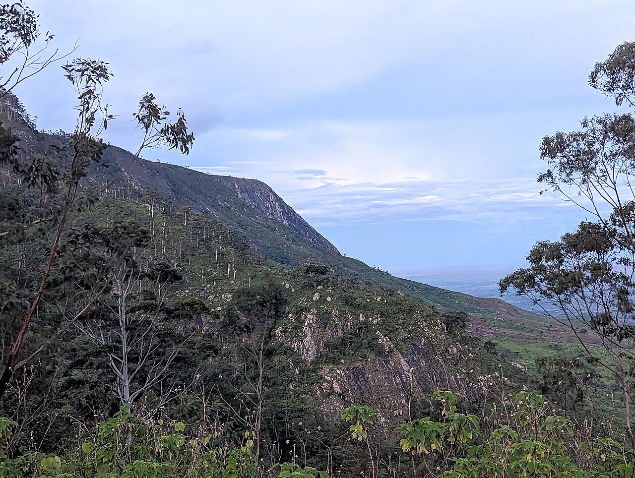
Active Fault Scarps of the Zomba Graben
The Zomba Graben is an actively faulted basin whose mapped fault scarps have been studied in research published in the journal Tectonics. Those scarps record extensional tectonics within the East African Rift System and define the structural margins that frame the plateau's escarpment edges. Geomorphic mapping provides evidence of repeated fault displacement, though the full chronology of plateau formation remains a subject of active research.
Flora Survey Across 1,200 to 1,950 Metres
A Flora of Malawi field inventory recorded plant species across sites on Zomba Mountain spanning roughly 1,200 to 1,950 metres elevation. The survey distinguishes streamside vegetation and montane bogs from closed-canopy montane evergreen forest and Brachystegia woodland. These figures describe the survey area rather than any single summit or administrative boundary, and the records serve as the primary botanical reference for the plateau's native plant communities.
The 1913 Gazettement and the Government Plantation
Zomba Mountain Forest Reserve was gazetted in 1913 at 5,937 hectares, establishing one of Malawi's earlier formally protected montane areas. The Department of Forestry separately lists a government plantation of approximately 5,085 hectares on the same highland, dominated by planted pine stands. The two designations are administratively distinct instruments of land management, and pine stands and native habitat occupy parts of the plateau alongside each other.