
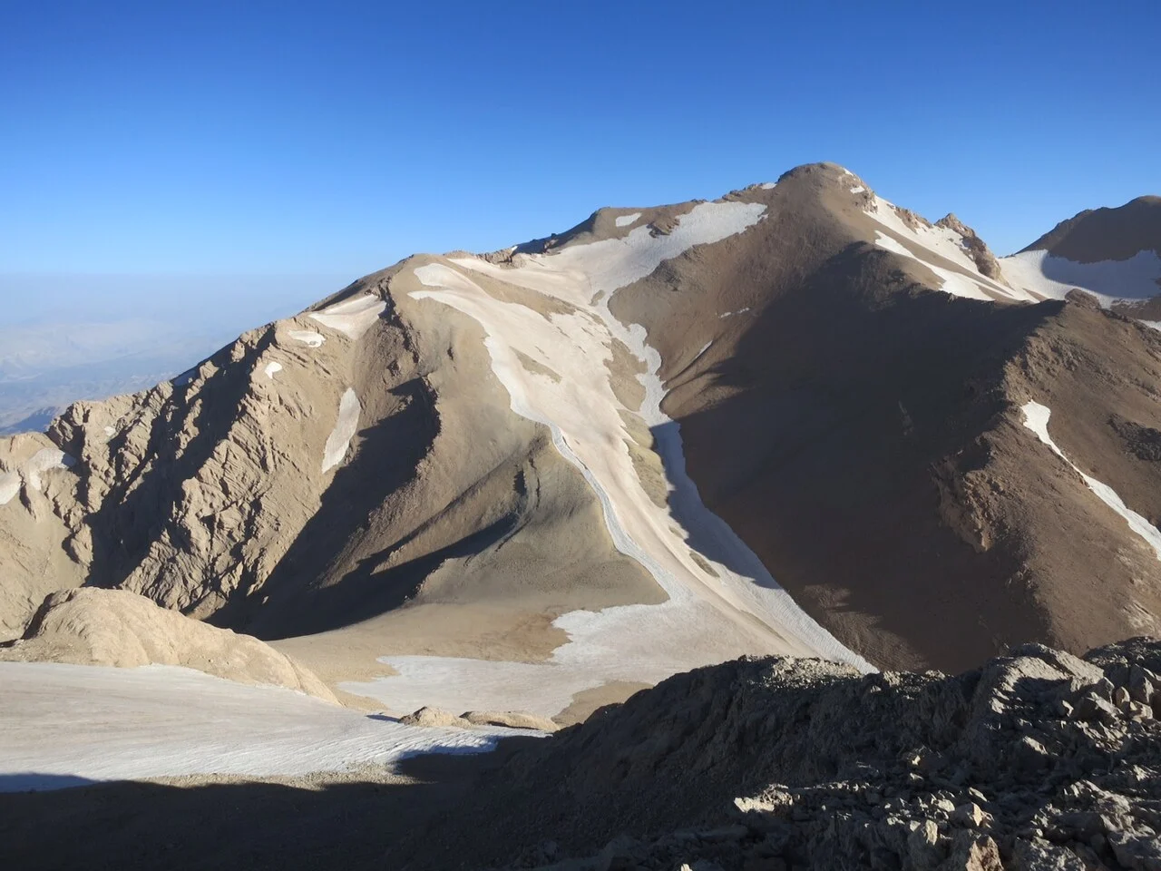
Two Rivers and High Cirque Glaciers
Springs of the Zard-Kuh range feed two separate river systems. The Karun flows westward to the Persian Gulf; the Zayande Rud flows eastward to the inland Gav Khuni marsh. The Iranian glacier inventory maps small cirque glaciers sheltered within the range's high basins, occupying shaded, enclosed positions characteristic of Zagros summits where topographic shelter sustains ice through the warm season.
Middle Palaeolithic Eastern Foothills
A 2009 survey by Kourosh Roustaei, documented in Antiquity, recorded more than 160 stone-artefact scatters across the eastern foothills at elevations between 2,450 and 2,800 metres. The majority of assemblages were attributed to the Middle Palaeolithic based on recovered tools, including Levallois flakes and scrapers, indicating a knapping tradition associated with that period.
Bakhtiari Summer Grazing in Kuhrang
Roustaei's fieldwork documents Bakhtiari pastoralists using the Kuhrang high pastures on Zard-Kuh's eastern side as summer grazing grounds, then moving to the lowland plains of Khuzestan in winter. This transhumance cycle connects Zagros highland pastures to a wintering range separated by substantial differences in both elevation and climate.