
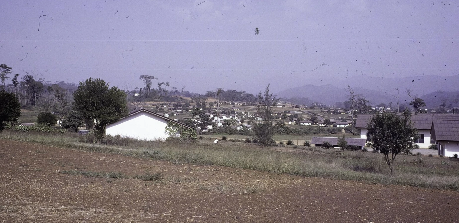
A Settlement Before and After the Mine
The mining town took its name from a Mano settlement that architectural historian Killian Doherty records as Yeke’pa. The houses in the 1976 photograph sit among low folds in the land. They show how the new planned town spread below the Nimba massif as workers and their families moved into the area.
The Railway and the Year Production Began
In 1963 the Nimba mine began producing iron ore, and a 267 km railway linked Yekepa to the port of Buchanan. Liberia’s environmental agency records the original line’s length. The mountain, the workers’ town and the Atlantic port became parts of the same route for exporting ore.
The Old Route and the Blue Lake Connector
A 2020 field assessment by the U.S. Forest Service and Liberia’s Forestry Development Authority followed the old road from Yekepa toward the former mine. It recorded a path connecting that road to Blue Lake, a former mining pit. The lake and the road preserve traces of the work that changed the shape of the mountainside.