
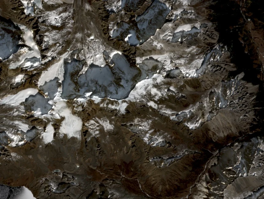
Southern and Northern Attempts, 2009–2010
In 2009, a party approaching from the south was halted by falling rock and ice before gaining the upper mountain. The following year a team on the northern aspect reached approximately 5400 metres before heavy snowfall forced retreat. Both attempts established the terrain character of their respective flanks across two successive seasons.
First Ascent via the North Buttress, 2011
Jon Otto, Tim Boelter, Liu Yong (Daliu), and Su Rongqin (Asu) returned to the northern aspect in 2011 and climbed the north buttress over three days on steep upper snow and ice. All four reached the summit, departing between storm systems. Otto's GPS equipment returned a reading of 6080 metres at the top.
Monasteries and Tibetan Livelihoods in the Valleys
Jon Otto documented Buddhist monasteries in the valleys surrounding Yangmolong and recorded aspects of Tibetan livelihoods in the communities below the peak. This documentation accompanied published climbing reports and preserves a portrait of the inhabited valley landscape beneath the mountain's glaciated upper elevations in Batang County.