
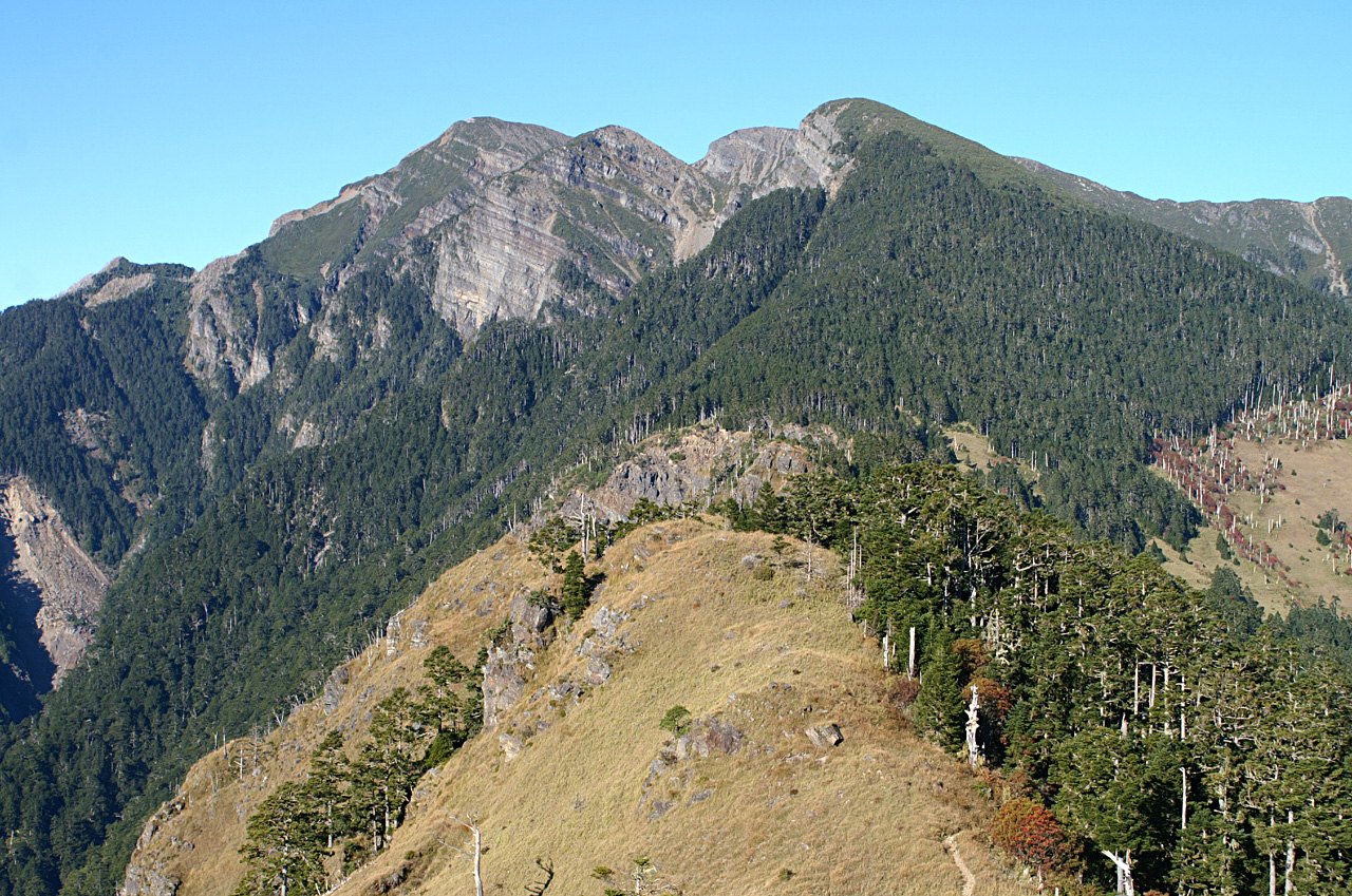
Range Structure and Horst Landform
The Xueshan Range extends roughly 180 kilometres from north to south and is one of the most important mountain barriers along Taiwan's northwest flank. Prolonged erosion by the Dahan, Da'an, and Dajia rivers has divided the range into several distinct landform zones, each with its own independent mountain profile. The Xueshan horst — the tectonic highland on which Xueshan sits — was thrown into relief by this pattern of erosion; the watershed divides of all three river systems converge here, lending the area a pronounced physiographic significance.
Shei-Pa National Park was delineated with the Xueshan horst as its core. Xueshan and Dabajianshan represent two entirely different mountain forms within the park — the former known for its massive, broad summit mass, the latter for its precipitous, isolated rock tower. Though separated by several tens of kilometres, the two peaks together form the skeletal framework of Shei-Pa's high-mountain landscape.
The East Peak Ridge and the Qijiawan Creek Valley
Xueshan East Peak is a spur extending eastward from the main summit, its alignment pointing toward the Qijiawan Creek valley. The Qijiawan valley gradually saw human activity with the development of Wuling Farm, and that development indirectly gave rise to the eastern trail in the late 1960s — early mountaineering groups opened a route in this direction, incorporating the East Peak into an extension of the main-summit itinerary.
The East Peak's geographic position makes it the most direct vantage point for looking down over the Qijiawan Creek valley, and an important reference for understanding the elevation difference between Xueshan's main summit and the lower-lying agricultural settlements in the surrounding area. This landform sequence, rising gradually from east to west, constitutes a classic cross-section of the vertical zonation landscape of the Xueshan area.
Xueshan's Place in the Hundred Peaks System
Taiwan's mountaineering community's "Hundred Peaks" list ranks summits according to landform character, elevation, and degree of difficulty; Xueshan is included and is considered an intermediate-to-advanced objective. The ranking system is not based on elevation alone but takes into account the distinctiveness of a peak's form and the complexity of its terrain. Xueshan holds a prominent place on the list by virtue of both its imposing bulk and its multiple ridgelines.