
Raised coral inland
In their 1978 field study, C. D. Ollier and C. F. Pain described a core of folded older rocks, mainly volcanic rocks and limestone. Younger coral limestone covers much of the island. Uplift and faulting raised some of those deposits more than 100 metres above sea level. At Kulumadau Hill, the researchers recorded a reef-limestone terrace at 115 metres. Its fossils placed it in the Quaternary, but did not give a more precise age.
The quarry and its stone flakes
At Suloga, the outcrops supplied stone for axes and adzes across the Massim region. William MacGregor visited the site in 1893, after quarrying there had ceased according to the heritage survey. In their 1906 account, Seligmann and Strong described broad stretches of ground covered in flakes left behind as the stone was shaped. That year the Pitt Rivers Museum recorded nine specimens from Suloga Peak that show different stages of axe manufacture.
From woodcutting to ceremonial exchange
Before iron tools became common in the nineteenth century, stone blades were used to clear gardens and make seagoing canoes. Polished blades continued to circulate as valuables in ceremonies. The Metropolitan Museum of Art documents how a blade could be placed in a specially carved wooden handle for an exchange, then fitted with a new handle for a later exchange.
The island in the Apollo photograph
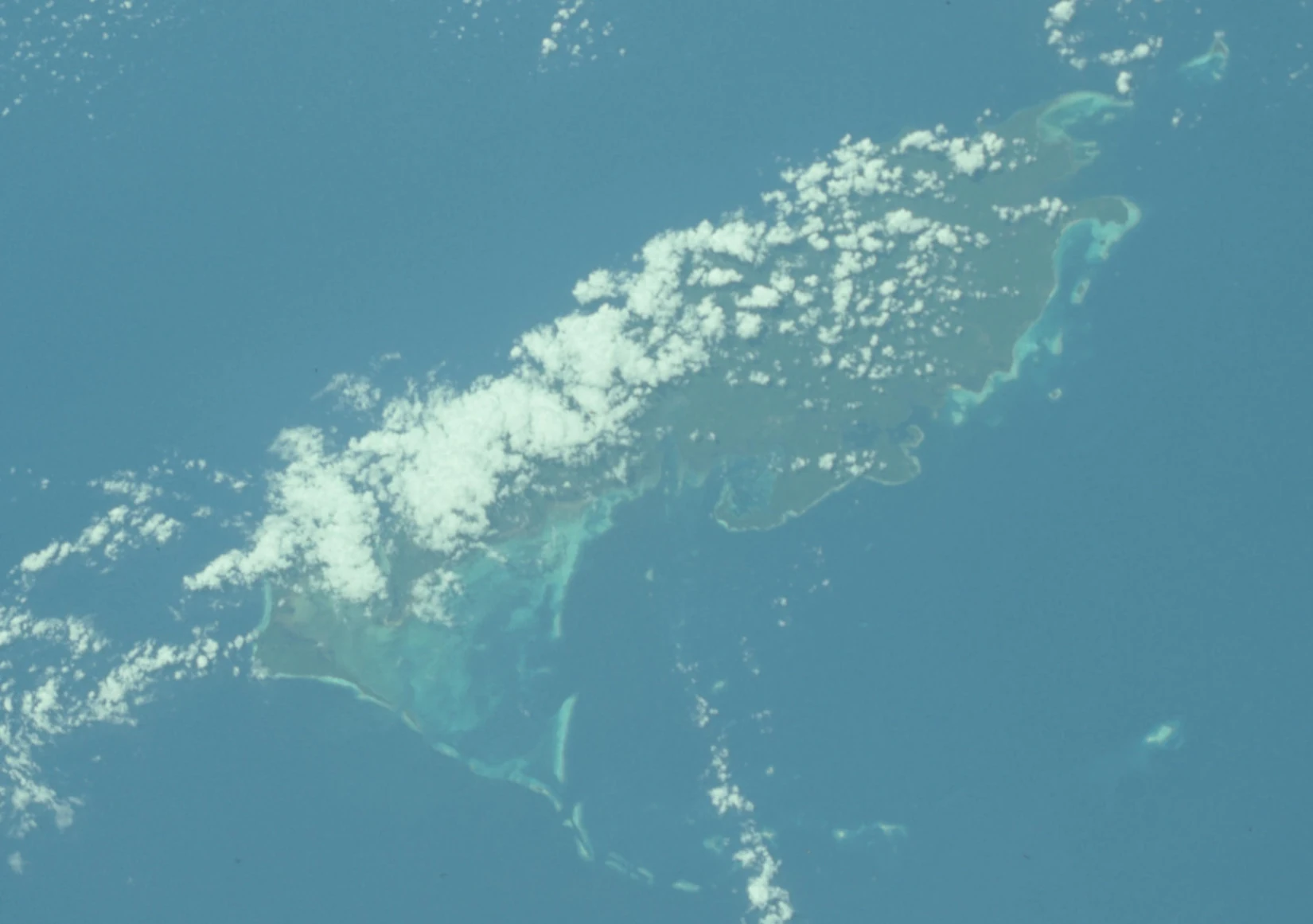
On 21 October 1968, the crew of Apollo 7 photographed Woodlark Island. The frame shows pale fringing reefs along the coast, with clouds over part of the island’s interior. The reefs in the photograph offer a view of the kind of coastal environment that produced the older corals now found inland at Kulumadau.