
Terrain and Erosion
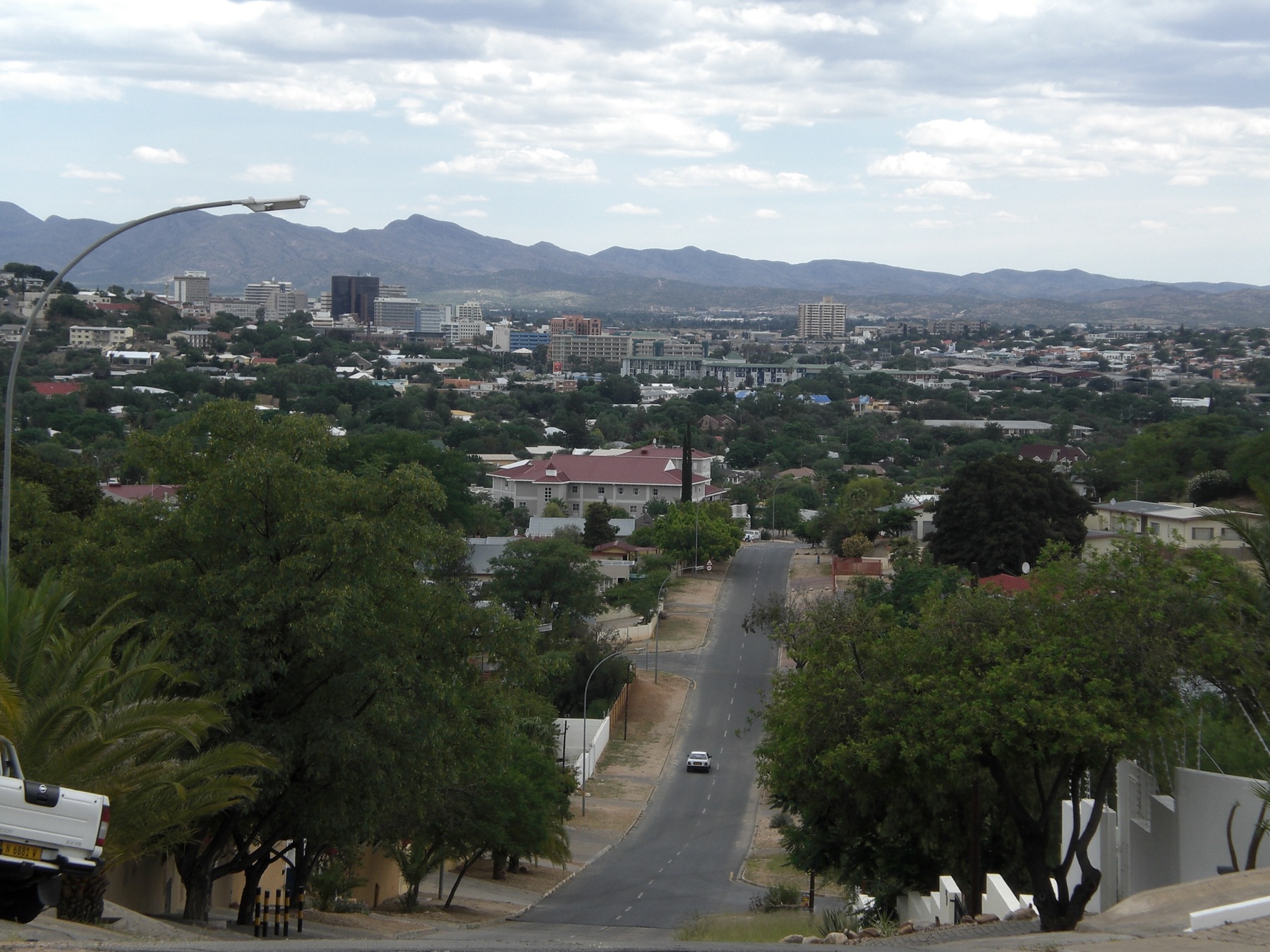
Erosion has worn the highland into rolling hills. Short, steep slopes concentrate runoff during downpours. University of Namibia researchers recorded signs of accelerated erosion, including gullies, especially on disturbed ground.
Hot Springs and Early Settlement
Hot water once rose through faults in the quartzite beneath Klein Windhoek. Nama speakers called the area Ai//gams, referring to the springs. The Otjiherero name Otjomuise refers to steam. The Oorlam leader Jonker Afrikaner settled near the springs in the early 1840s. Oorlam channels watered gardens in the valley, and those channels remained in use after German occupation.
The national water ministry records that the thermal springs dried up after groundwater pumping began. The faults that once carried the hot water are part of the same fractured rock system that supplies boreholes.
Ridgelines and the Archival Map
Research drawing on an 1892 map in the National Archives of Namibia, NAN-Map 5954, traces three areas of early colonial Windhoek. Groot Windhoek contained administrative buildings, while Klein Windhoek to the east was a valley of gardens. The troops used higher ground above Groot Windhoek for forts and watchtowers, from which they could see across the basin.
Water Scarcity and the Green Belt
The city began reclaiming treated wastewater in 1968, according to the municipal structure plan. Decades later, the Windhoek Green Belt pilot brought Daan Viljoen Game Reserve, neighbouring farms and municipal land into a programme to connect wildlife habitat west of the city.