
Geology at the Crest
A USGS survey conducted in 1969–1970 documented a dark diabase dike cutting through the lighter rock near the summit ridge—younger magma that intruded into a fracture and solidified after the surrounding material was already in place. The same survey recorded a small glacier on the north side and a ridge of debris marking the outer limit of an earlier glacial advance.
Survey Era Photography
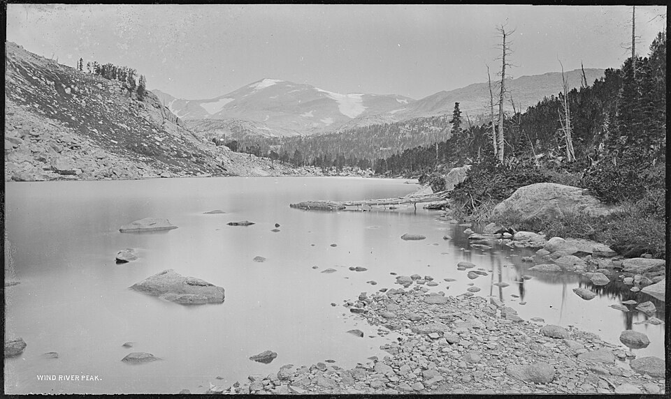
William Henry Jackson photographed Wind River Peak during the Hayden survey period, producing an image now held by the U.S. National Archives. That photograph documents the mountain's valley setting as it appeared in the nineteenth century and is among the named survey-era records of the southern range.
Early Ascent Accounts
Accounts from the survey period disagreed about which summit Captain Bonneville's party explored in the region. Henderson identified an 1878 Hayden survey ascent in the southern range as possibly Wind River Peak, though that attribution carries qualifiers. No single early climb has been confirmed as an undisputed first ascent of the summit.